AZBackroads.com is the official website of Arizona Backcountry Explorers. We are an independent media company focusing on motorized use of existing roads on public lands in Arizona.
Arizona 4×4 trails, motorized access advocacy, and public land information
Defend Motorized Access To Public Lands in Arizona!
Thousands of miles of historical roads on public lands in Arizona are closed, and there are thousands more to go!
We are fighting back by facilitating your connection to those who have decision-making authority. Please take action to save motorized access to public lands.
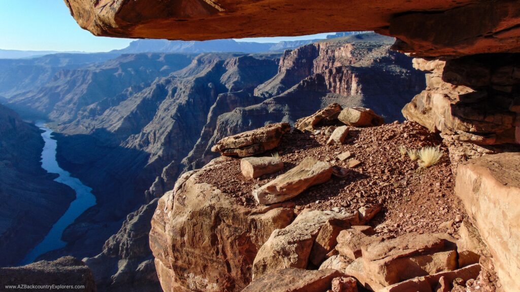
4×4 trails, overland routes, and destinations on public land in Arizona
Download our entire private collection of GPS tracks and points of interest from our adventures on public land across the Western United States.
Our extensive collection of GPS tracks contains over 400 long distance motorized routes routes on public lands that spider across the State of Arizona in every direction. Our 4×4 overland routes follow existing roads and were personally mapped out by us.
Resources for motorized public land users in Arizona
AZbackroads.com uses official government data to develop resources for 4×4 motorized public land users in Arizona and across the United states.
Our proprietary software is designed to fill the gap between government resources and motorized public land users that need access to easily available regarding public land policy engagement and current backcountry conditions. Our tools consolidate data from multiple government agencies, display it in a mobile-friendly user format, and provide rich engagement tools.
Arizona public land Wildfire Information Map
Real time wildfire information
Arizona public land Fire Restriction Map
Current Fire Restrictions
Arizona forest order and restriction map
All forest orders in USFS region 3
Federal Register public land policy tool
Active federal rulemaking proposals