Your cart is currently empty!
Posted in
A fantastic weekend with friends in the Bradshaw Mountains
I was recently fooling around on Google Earth and came across a massive mining operation in the middle of nowhere. I intended to research the next Arizona Backcountry Explorers adventure, but we quickly got sidetracked, and boy, did we find a gem!
This weekend John reunites with a friend he hasn’t seen in over 40 years. Mark drags an overland trailer over 80 miles through the Bradshaw’s. And EVERYTHING is still at the UFO mill.
I put a shout-out to a couple of friends. Tad, our social media moderator, and John, the administrator and founder of Retired Renegade Adventures. We then organized a trail ride, and 8 of us showed up for fun. We had a variety of vehicles, including 5 Jeeps, one pulling an overland trailer, 2 Toyota 4Runners, and one Nissan Xterra, all heavily equipped and packed to the tip for an exciting 2-day adventure through the Bradshaw Mountains.
We met at 8 a.m. at the McDonald’s on Carefree Highway and I-17. After topping off our fuel, we hit the highway toward the dirt. We reached the Cow Creek staging area near Lake Pleasant to air down the tires and talk about the route, our camp, and what we plan on seeing. We had several destinations in mind. There was no time to waste, so we quickly hit the trail.
Our first destination was the Castle Creek Canyon and the 40 or 50-foot tall pillar that stands in the middle. It has always been an extraordinary place for me, and I’ve spent a lot of time there. It’s an enjoyable place to camp with the family. If you’re here during the right time of the year, a little bit of water will be running, and it’s shaded most of the day. There’s a small mural of Snoopy painted on the wall that’s been there since I was a child.
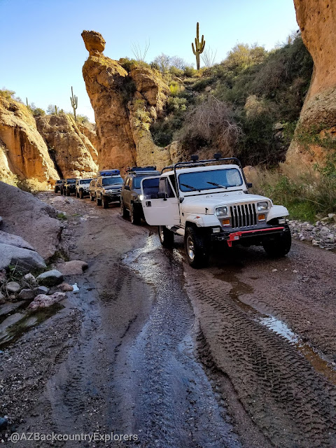
There was a good amount of water flowing through the wash this time—more than I’d seen before. The drive through Castle Creek is easy and slow, with no real obstacles to navigate. In most places, the wash is extensive, with deep sand being the only concern. There are a couple of tight squeezes between boulders that must be navigated, but that’s it.
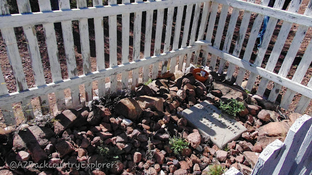
Our next stop was the gravesite of Isaac Bradshaw. Isaac and William Bradshaw were gold prospectors from California. After striking rich silver and gold deposits in the Bradshaw Mountains, they set up shop around 1865 near Crown King. The mining camp just outside of Crown King became known as Bradshaw City. Eventually, Bradshaw City became home to nearly 15,000 miners and was considered the largest mining camp in Arizona.
Bradshaw’s grave is extremely remote and access requires a high clearance 4WD. The grave is located approximately 30 miles, as the Crow flies, from Bradshaw City in the foothills of the Bradshaw Mountains. The surrounding mountain range was named after the Bradshaw brothers and we followed their footsteps all weekend.
The trail to Bradshaw’s grave has existed for over 150 years. First used by pack animals and eventually wagons and combustion-powered automobiles, this road is a historical lifeline that connects some of Arizona’s richest mining history. It’s an easy trail for an experienced driver. For beginners, it may be a little intimidating. Don’t go alone!
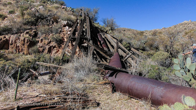
Continuing, we found the Crown Point mine 2 miles northwest of Bradshaw’s grave. There’s not much information available, but we do know it’s privately owned. Respect the area and be very careful. There’s a collapsed wooden headframe over a bottomless vertical shaft. Next to the head frame is a second vertical shaft.
We explored the area and found only small remains of what was there. The foundation of an old stone building sat down the hill from the head frame. Next to the stone building was a retaining wall made from precisely cut stone.
John scaled the mountain like a mountain goat, searching for more mining remains and clues to what mineral they were after. After a short time, he returned with nothing but battle wounds from the dense Catclaw Acacia surrounding the area. While waiting for John to return, we saw a group of 27 fellow 4×4 users cross our path. From there, we continued west until we reached our pre-planned campsite at the confluence of Buckskin Canyon and the Hassayampa River. The UFO mine was just a stone’s throw away.
The UFO mine and the incredibly well-preserved mill.
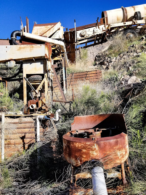
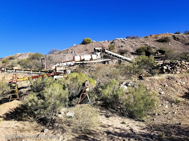
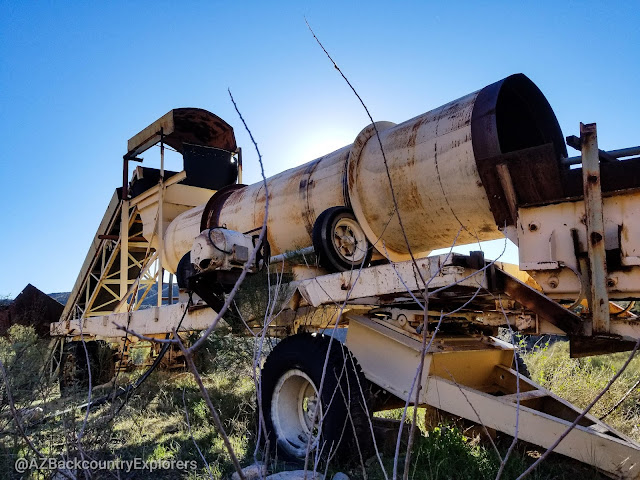
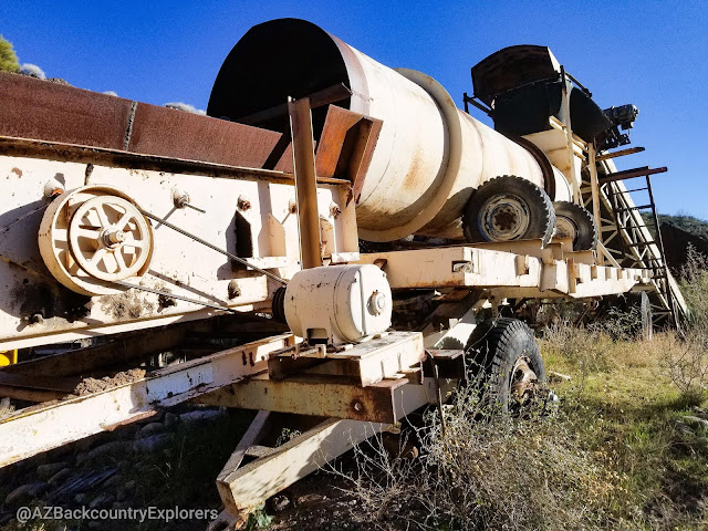
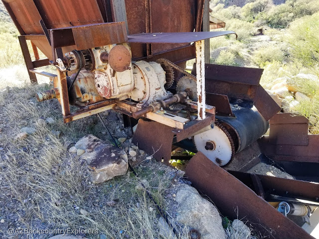
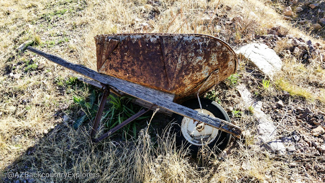
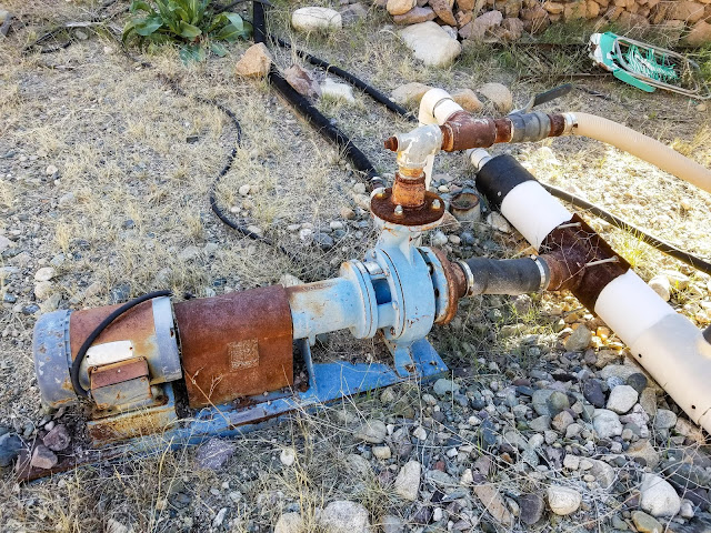
The UFO mine is just outside the border of the Hassayampa River wilderness on Arizona State trust land. It appeared to once be a huge operation and was functional as recently as 1990. It’s marked with a “keep out” sign and has been abandoned for a long time. There’s an old miner Shack, a bulldozer, a loader, a track hoe, and various other mining equipment left behind. The amount of equipment abandoned at the UFO mine is staggering. Pumps, mixers, pulleys, chains, a reel of conveyor belt rubber, and various other things. Not to mention the mill! The UFO mill was phenomenal! It was completely intact, with everything from rubber belts and PVC piping still there.
I pondered, trying to imagine how the mill worked. Every part of the mill was operated by an electric motor. Each motor was wired to a panel of various electrical breaker boxes. A single 3-phase Army Corpse of Engineers diesel generator powered the entire operation. Together, the electric motors created the motion necessary to extract gold from the Hassayampa. Near the mill was a workshop that appeared to house all of the equipment necessary to maintain the mill. A shelving unit had various items like nuts and bolts, chains, grease, welding electrodes, pulleys, and belts.
The UFO mine was a placer mine. There are various pits dug throughout the area and scrapes taken off the mountainside. John and I searched around for a shaft but couldn’t find one. We found a lot of tailings, but that’s about it. There is no prospecting allowed on state trust land without a lease, so that’s not an option. The trail to get here requires a skilled driver and a high clearance 4WD. You must navigate off-camber washouts that risk rolling over and collapsing. There are piles of boulders 12 to 24 inches tall. Steep hill climbs with deep ruts: Sharp, bumper-dragging dips, and narrow shelf roads. Don’t go alone!
After searching around for a bit, we decided it was time to set up camp and call it a day. We gathered in a circle around the fire for a highlighted moment of friendship. Everyone got to know each other very well and became more comfortable as the night rolled on. It was a great time as satire and laughter echoed in the canyon. The sound of the Hassayampa River was enthralling and couldn’t be ignored.
Day 2 in the Arizona Backcountry
It’s a serene feeling waking up to the sound of the flowing Hassayampa River. The first two awake were Todd and me. It was a chilly 49 degrees, and we wasted no time building a fire and preparing breakfast. Soon after everybody woke, we packed up our tents and lined up the rigs for day two of our adventure. The plan was to backtrack to Bradshaw’s grave and head North over Boulder Pass. This section was unexplored by everybody in the group. We didn’t know what to expect, but everyone was ready for the challenge.
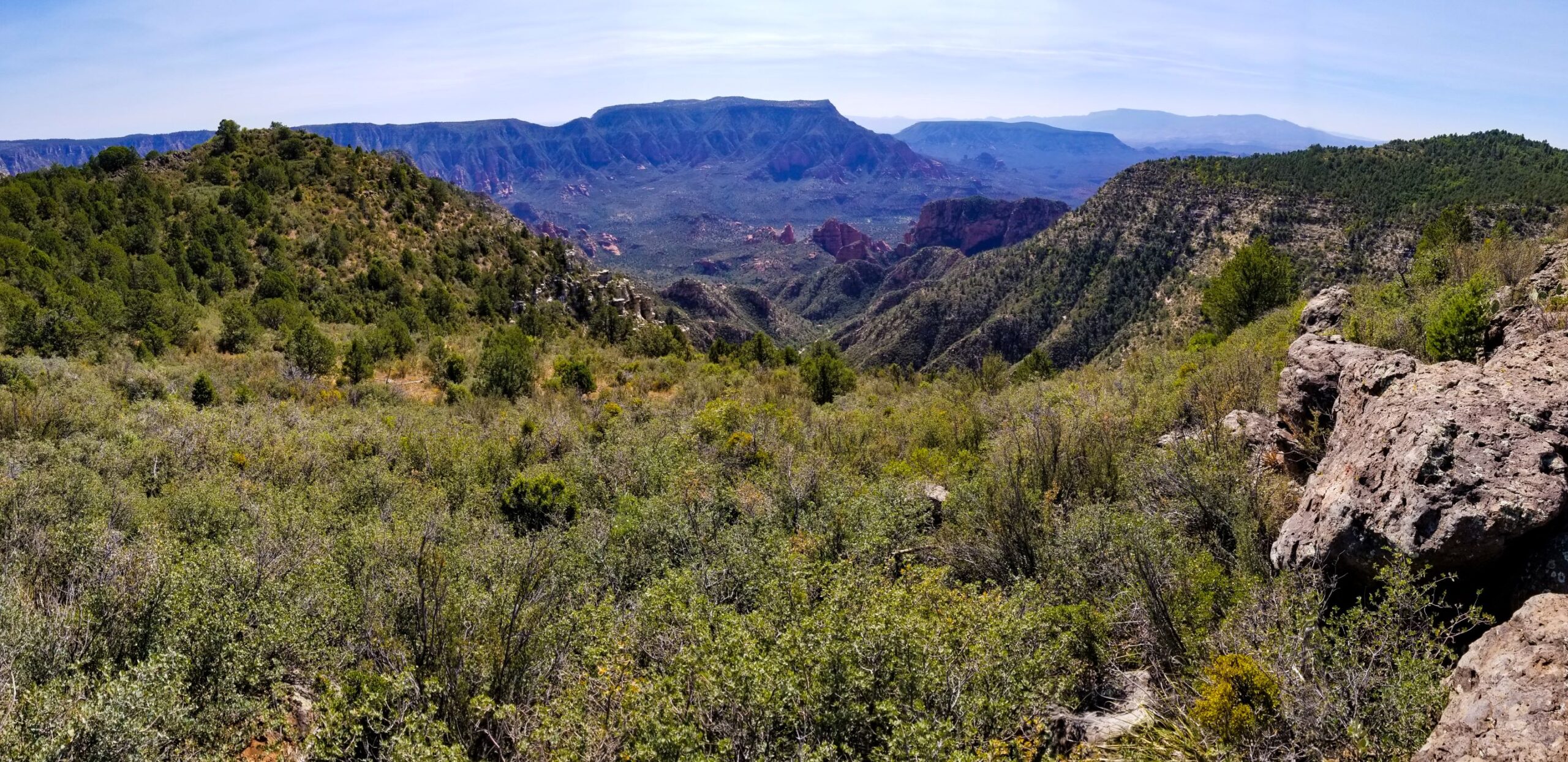
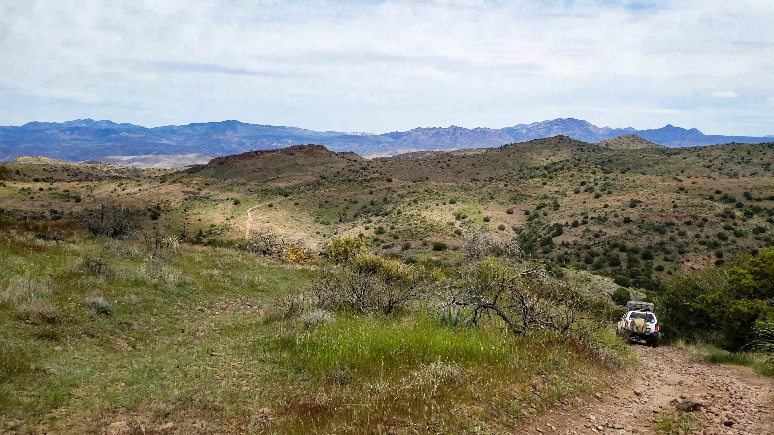
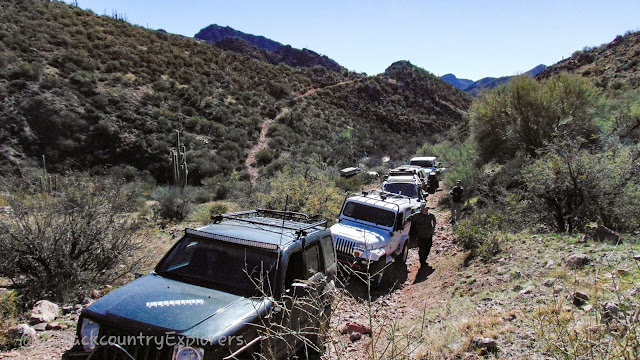
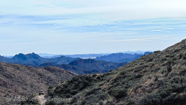
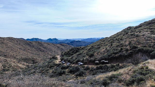
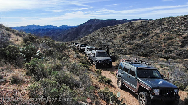
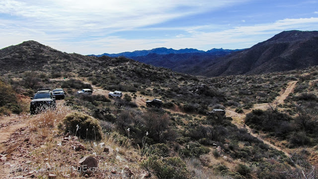
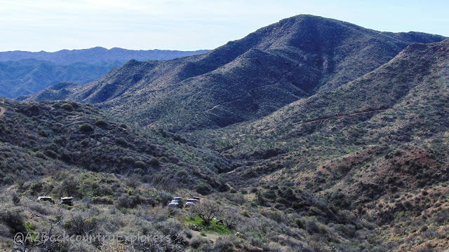
We found our trail and started to head north toward Boulder Pass. The further we went, the higher we climbed, and the rougher the trail got. The views were spectacular on the way up, and we captured some awesome photos of the crew behind us.
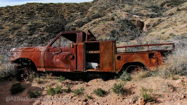
Boulder Pass is named appropriately. Huge granite boulders are dotting the landscape. Before you crest over Boulder Pass, you will see Castle Rock to the east. It would be a nice cross-country hike to the notable landmark. Eventually, we came across an old Ford pickup that was pretty much complete. It was a service truck of some sort. The truck was burnt and slid off the side of the trail. The trail continues north until it reaches the Hozoni Ranch.
The Hozoni Ranch historically housed the water collection system and was the beginning of a pipeline to Copperopolis. The abandoned pipeline provided water for copper mining in the area and can still be seen from Google Earth. Eventually, the trail heads south and descends into Copperopolis Wash, where we will find our next stop.
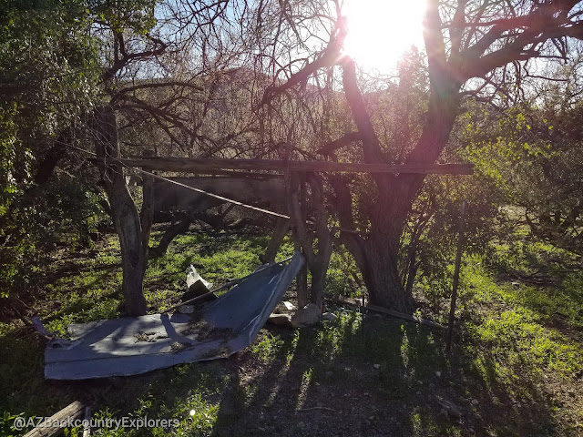
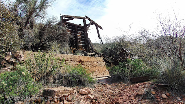
Lehman Mill was a copper and gold mill built in the 1930s by Gus Lehman and Charles Champy. The operation was short and only lasted for a few years. The mine is located in Golden Aster Creek on the opposite side of Lehman Mountain. I have yet to make my way over to the mine. Like Castle Rock, we’ll save this for another day. At Lehman Mill, there’s a boiler installed in concrete on the side of Copperopolis wash. Further down the wash, you’ll find a collapsed wooden structure, a stone foundation, and a couple of other miscellaneous large and heavy pieces of mining equipment. A short overgrown Trail cuts across Copperopolis Wash and heads up to the mill. At the mill, there is an engine installed on concrete blocks. The mill itself is collapsing, and there’s nothing left but the wooden frame.
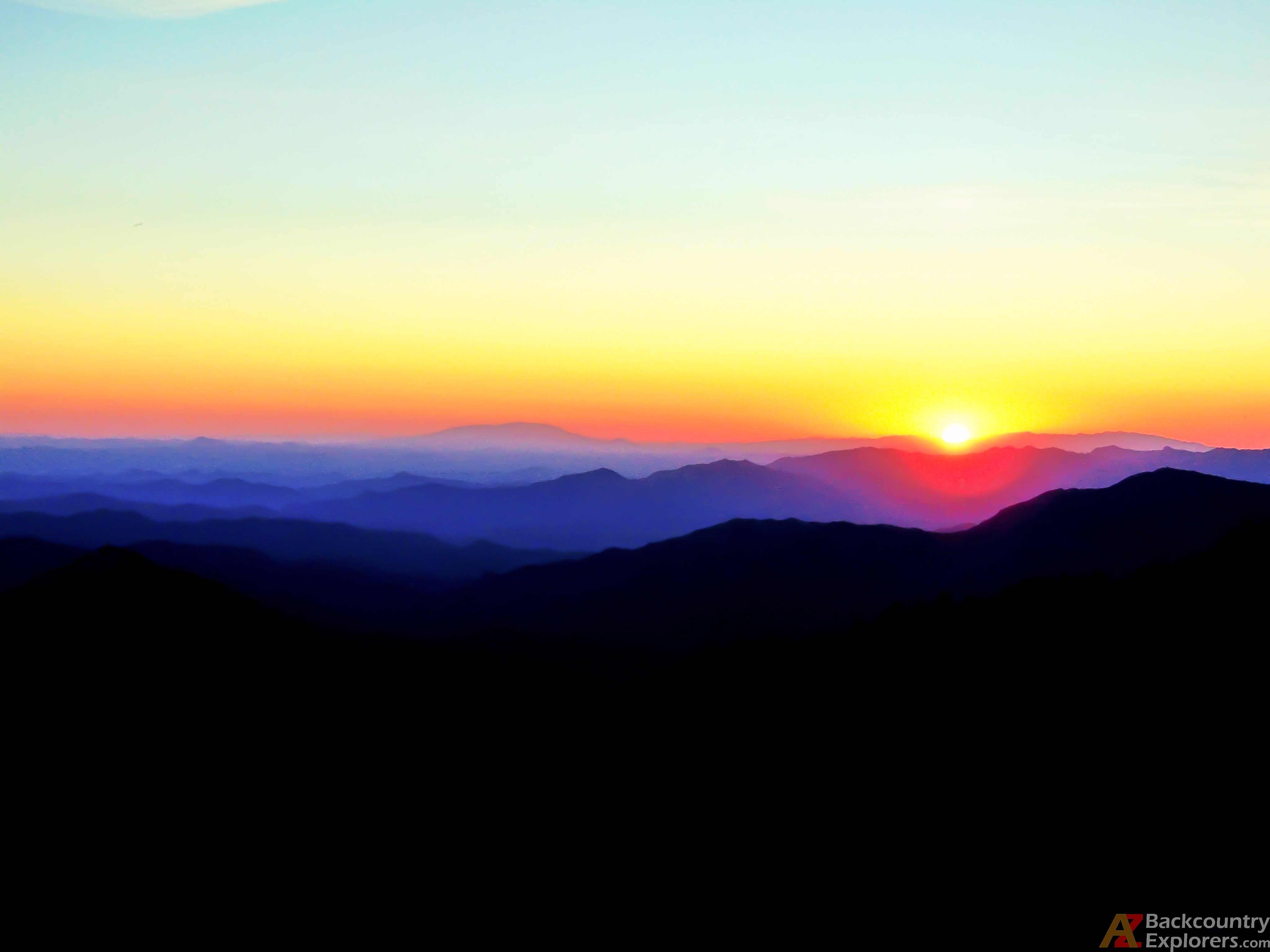
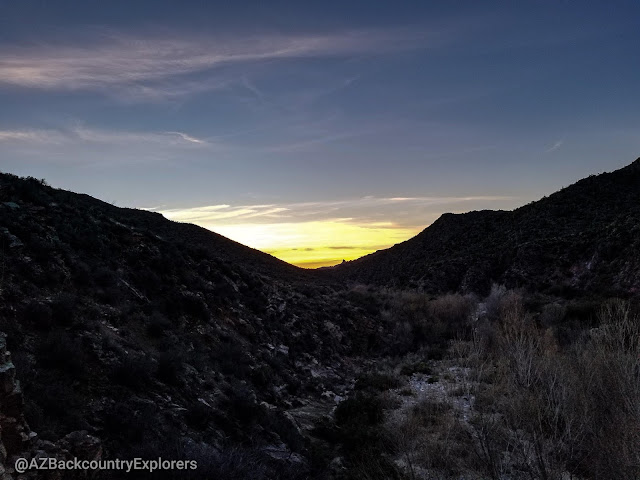
From here, it’s another 48 miles to the pavement. From Lehman Mill out to Wagner Road is short but will take you about one hour. At Oak Creek Windmill, you can head west to People’s Valley or east to Crown King. On the way out, we stopped at Minnehaha and eventually on to Crown King for a burger. After we parted ways, the family and I continued to Mayor and captured an awesome sunset.

Tags:
You may also like…
Visit the AZBackroads.com Store
Please Become A Member
We need your help to keep our backroads open. Please join today!
