Your cart is currently empty!
Posted in
By far the best 4×4 adventure in Arizona.
The Grand Canyon is one of the largest canyons in the world. Most people will never get a chance to experience most of this natural wonder. To reach many of the canyons overlooks, you must have a highly modified 4×4, superb driving skills, days to spend, and a full tank of extra fuel. Don’t forget your camera, because you’re going to need it!
Day one and two | Meeting at Little Finland in the Gold Butte National Monument
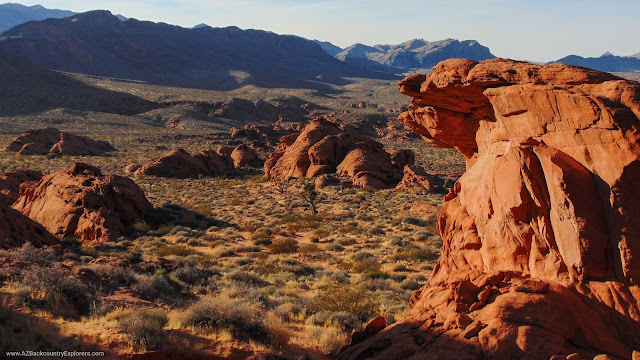
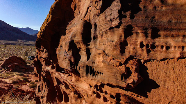
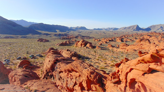
We started our journey in Little Finland in the Gold Butte National Monument just west of the Arizona line in Clark County, Nevada. This newly recognized national monument is a place like no other. Beautiful orange sandstone rock formations sprout from the Earth-like piles of mud dotting the landscape. Deep crevices run the length of each formation, creating a slot canyon-like gorge. To the northeast sits the Mud Wash Sand Dunes and Whitney’s Pocket. Another great place to explore.
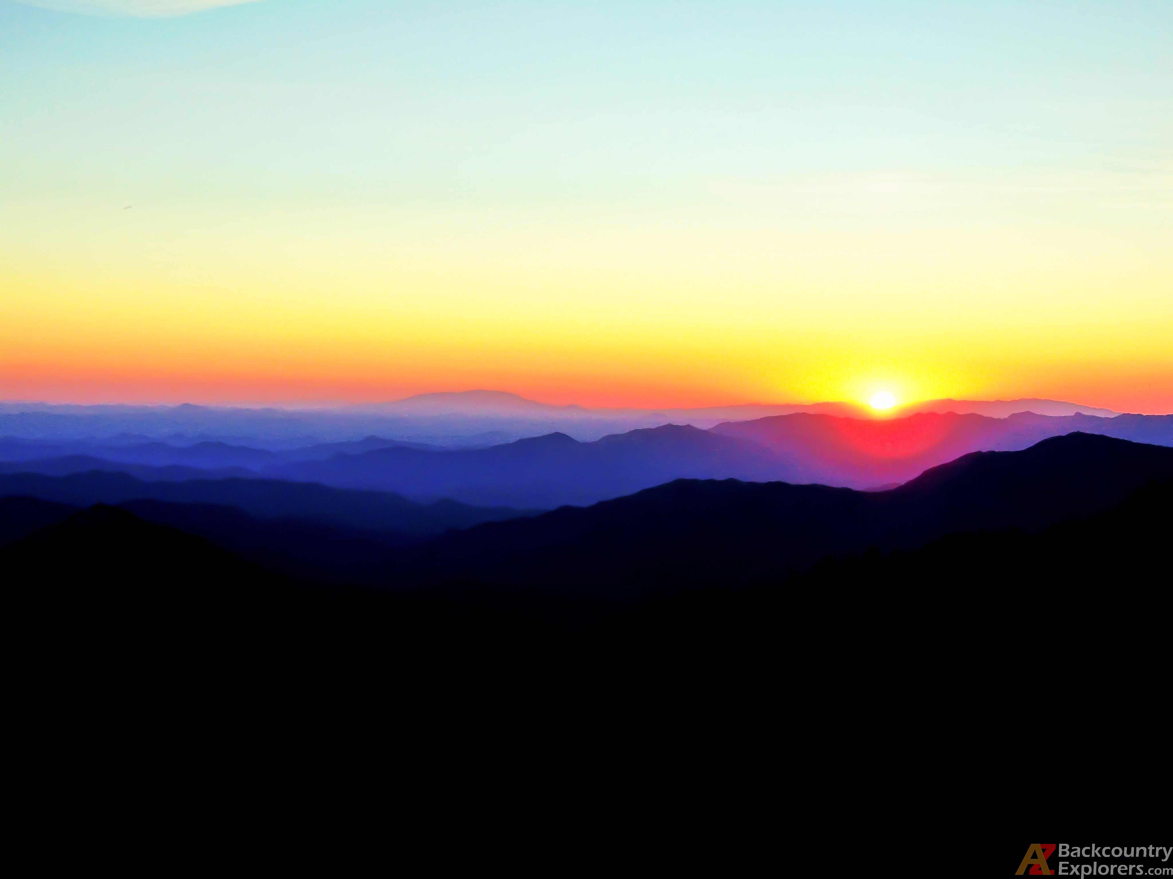
As I arrive, the sun is rising, and the crew is just starting to wake. Everybody met the previous day and spent time exploring Little Finland. The sunrise lit up the orange sandstone like a beacon guiding me towards an adventurous celebration. A group of great friends is patiently waiting for me to arrive.
Following Gold Butte Rd from Riverside, Nevada, is a rough and long paved road. Deep potholes are scattered throughout the trail. It’s slow and will probably take you about an hour or more. Excited to start the day, I set off on foot with the camera in hand towards the intricate sandstone formations. I spent about an hour exploring the area and snapping photos. Eventually, everybody was packed up and ready to go. After a brief discussion of our route, we hit the trail with the anticipation of reaching Trail Canyon by 6 pm.
Our first stop was Tassi Ranch. The Tassi Ranch is located in the Lake Mead National Recreation. The historic ranch was built by a man named Ed Yates in the 1930s. It was an active ranch until 1947. During his time, he constructed a stone house and called Tassi Ranch home. Today, Tassi Ranch is an attraction managed by the National Park Service. It’s very well preserved and standing strong. Everyone agreed Tassi Ranch would be the designated lunch stop. At that point, I realized we were way behind schedule.
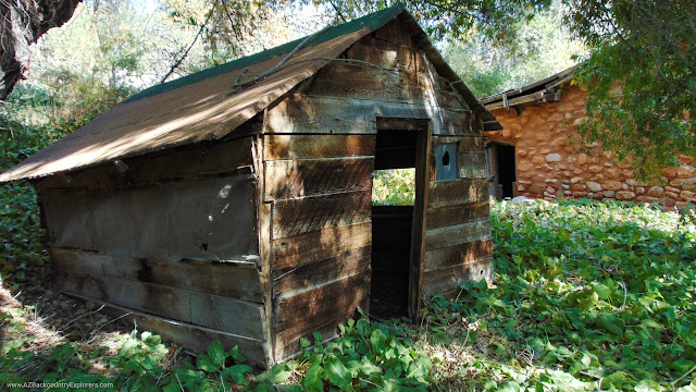
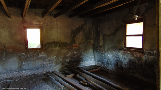
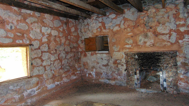
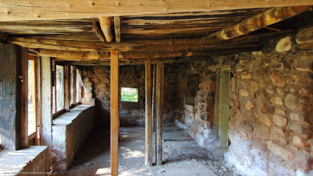
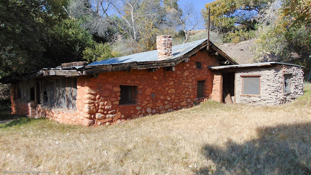
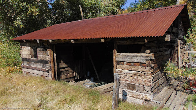
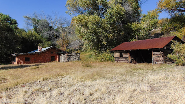

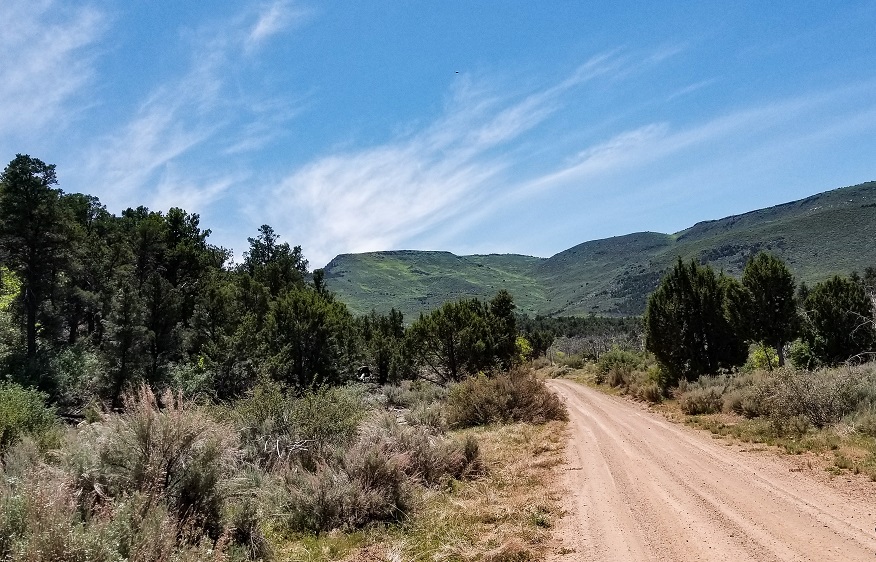
It was nearly an hour before we were back on the trail, and time was running short. Following a beautiful smooth two-track trail, we arrive at Nutter Twists Rd and head north. Climbing Tweeds Points to the Hidden Rim is a rough, steep climb with a few mild rock obstacles. The trail is true to its name and twists left to right while straddling the cliffside between Hidden Canyon and Hidden Cliffs. Looking behind, you get an incredible view of Grand Wash.
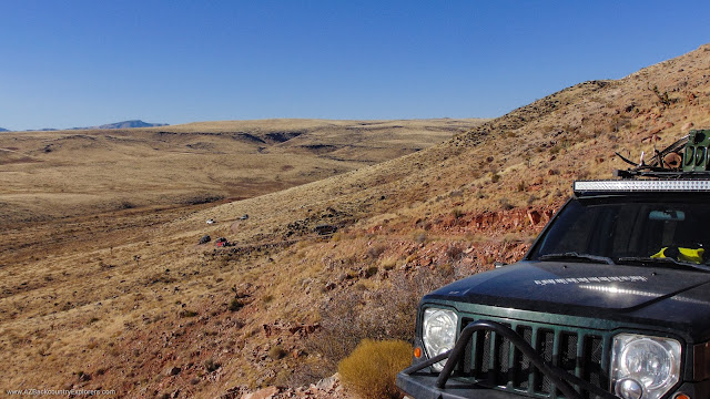
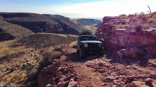
Continuing forward, we run into two guys in a Subaru. I stopped to chat and advised them to turn around and avoid going any further. They were looking for a place to camp with a view but just happened to come to the wrong area. The only place with a view on this trail is Nutter Twists Rd. I explained they could hike up the trail and set up camp. They declined my suggestion, and I was honestly worried about them.
Our Hidden Spring campsite from Expedition 1 was just ahead. We decided to utilize our campsite one more time. The cow dung was minimal this time, thank goodness. During our stay, we ran into the guys in the Subaru again. “Glad to see they are ok,” I think to myself. They stopped to ask about trail conditions farther down the trail. They wanted to know if it was safe for them to continue toward Bar 10 Ranch.
Up ahead, the trail gets tight as it winds through Hidden Canyon up to Shivwits Plateau. From there, they can hop on a maintained road to St. George, Utah. The drive is nothing a Subaru can’t handle. I glimpsed at their fuel gauge and notice they have less than a quarter tank, and I immediately suggest they visit the ranch for fuel. They won’t make it out with just a quarter tank.
The excitement of Mollies Nipple is too much to bear, and the erection of rooftop tents commences.
Day three | Hidden Spring to Mollies Nipple
Pressing forward, we find the Subaru camped on the north side of the trail. They seem to be doing ok. A gentle wave is the only indication that things are going well. They must have given up on finding a campsite with views.
“Today is the day we reach Mollies Nipple,” I announce over the radio. If we don’t reach the nipple tonight, Expedition 2 will become a failure, and that wasn’t an option. We picked up the pace and retraced our route from Expedition 1. The trail is nice and smooth all the way to Trail Canyon.
Our previous attempt on Parashant Expedition 1 was unsuccessful. We didn’t have enough fuel to complete the original plan. It’s easy to underestimate the Parashant National Monument. Climbing in and out of deep canyons uses more fuel than anticipated. We were lucky to make it out to Fredonia. Instead, we found ourselves at Whitmore Point, overlooking the trail in Parashant Canyon.
We arrived at Trail Canyon just in time for lunch. I made myself a sandwich and contemplated walking the trail ahead. We were about to drop down in the Grand Canyon and had no idea what to expect. A National Park Service sign warns of the path moving forward. “Unavoidable obstacles, Advanced driving skills required.”
The Trail Canyon dugway was built in the 1930s by the Civilian Conservation Corps. It’s a phenomenal 4×4 trail that drops you into Parashant Canyon and ends at the edge of the Grand Canyon. Not to be taken lightly, this trail will test you and your equipment to the max.

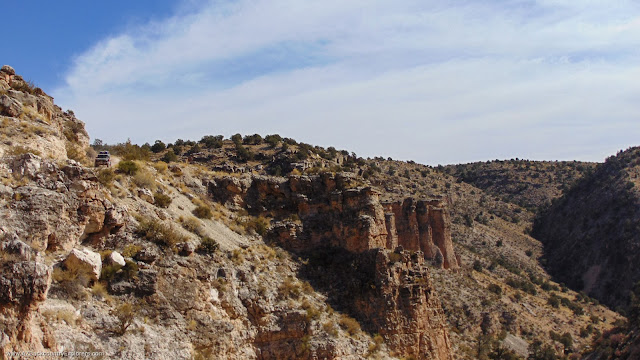
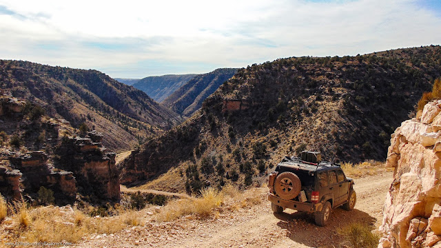
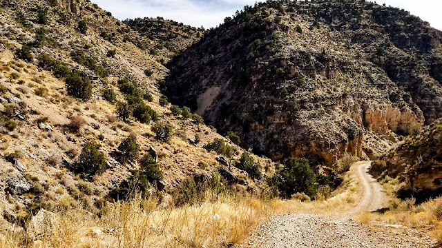
We continued down Parashant Canyon for nearly nine hours, crossing boulder fields and carefully navigating high mountain shelf roads. We conquer obstacle after obstacle, following an almost unrecognizable path. At times, the only indication of a trail is the line on my GPS. Nobody comes out here. The trail bends in a westerly direction as Parashant Canyon joins Andrus Canyon and bends south towards the Colorado River.
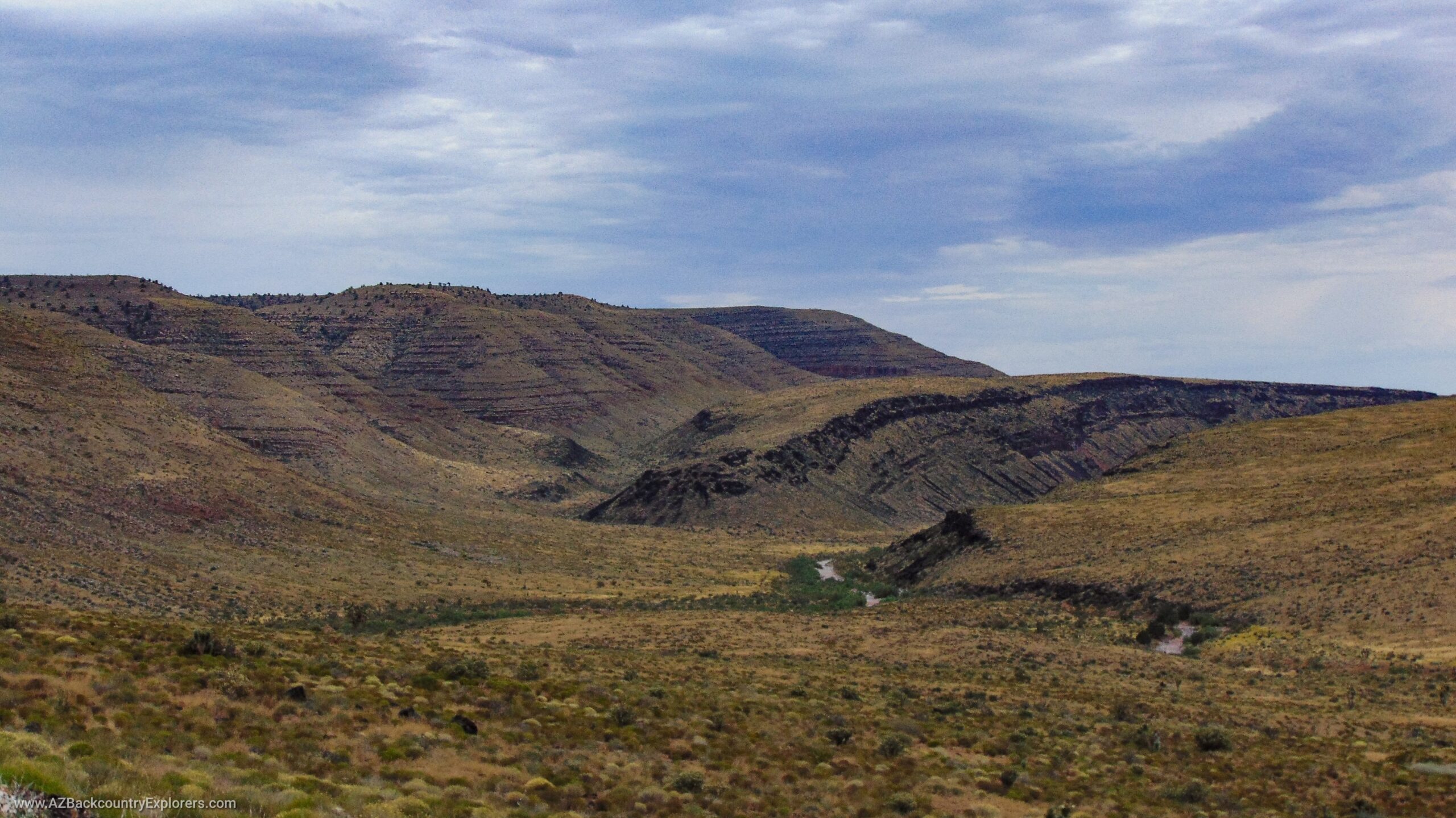
Parashant Canyon and Parashant wash are one of the largest tributaries to the Colorado River. Parashant wash begins at Mount Dellenbaugh near the Grand Wash Cliffs and circles around where Andrus Canyon joins it before finally dumping into the Colorado River. I estimate the river to be around 100 miles long. The elevation change can mean the difference between rain and snow. The trail frequently becomes impassable after storms, and trail maintenance is almost guaranteed along the route. Be prepared for anything on this journey.
A few miles after rounding Andrus Canyon, we ran into a roadblock. Rocks had fallen in the middle of the trail. Other travelers stacked rocks along the edge to get around. Everyone but the last two rigs got through safely. The path started to collapse and almost left the final vehicle separated from the group. Luckily, we built the trail back up and guided the Toyota 4runner across the collapse. Unfortunately, we had to come back out on the same path the next day.
By the time we got the 4runner through, the sun was setting. We still had another 10 miles to go before reaching Mollies Nipple in the Grand Canyon National Park. At the current pace, 10 miles could mean 3 hours. Some in the group contemplated quitting before we reach the end. Peer pressure and encouragement kept the group focused on the task. As the sun disappeared, the trail got rougher. Several large ledges and bumper-dragging dips separate us from the nipple.


Finally, we reach our destination, Mollie’s Nipple overlook. I can see the silhouette of Mollies Nipple in the moonlight. Looking over the edge, I could see the sparkling waters of the Colorado River 1,300 feet below. I parked my Jeep right on the edge of the Grand Canyon and set up camp, anticipating a beautiful view the next morning. The bright moon produced the perfect light for a beautiful photo.
Setting up camp was slow with exhaustion. The group was super excited but absolutely worn out from the 12-hour trek. Around the fire, we discussed our plan to fix the trail and decided it was best to leave camp as early as possible. We knew it would be a long day.
Day four and five | Making our way back to civilization
I woke up and didn’t even open my eyes before I let out a big grin. We had made it to Mollies Nipple, and the anticipated view, once depicted by a Google Earth ground-level image, was now in front of my face. The sharp memory of the day before was still boiling in my head. The views, the canyons, the challenging trail. It only took a moment before I was up photographing the Grand Canyon National Park’s beautiful north rim.
I took a short hike around the point and enjoyed the view. The air was foggy, which made shooting a good photo difficult. I imagined the dust from our adventurous stampede just barely starting to settle. Following the cliffs, I could see what felt like miles down the canyon. I found a neat shelf overlooking the Grand Canyon. It wreaked of Mountain Lion, but the treacherous predator was absent and nowhere to be found. The shelf had an overhang that provided shade and shelter. I wonder if the Mountain Lion enjoys the view as much as I do.


The scale of the massive granite gorge was starting to settle in. We had traveled nearly 200 miles since we left the Gold Butte National Monument on Saturday. Our path brought us through multiple layers, resembling giant steps that led us to this beautiful place. It’s hard to imagine the blood, sweat, and tears of the Arizona Pioneers who tamed this land.

The Grand Canyon is more than a canyon. It’s a dance through time. Each canyon contains another canyon, which includes other canyons. Each layer is massive, with its own habitat ranging from lush forest at the top to desert at the Grand Canyon’s edge. In between, you find substantial riparian areas with mountain springs and beautiful, unique plant life.
Cryptobiotic soil covers the ground as far as the eye can see, dictating the beautiful landscape. Lichens accompany the microorganisms that help bind the soft sandy soil together. Together they create a crust that covers the ground—nature’s way of slowing erosion. The result is unprecedented growth on top of the soil. It’s imperative not to disturb cryptobiotic soil. Lichens take hundreds of years to develop.
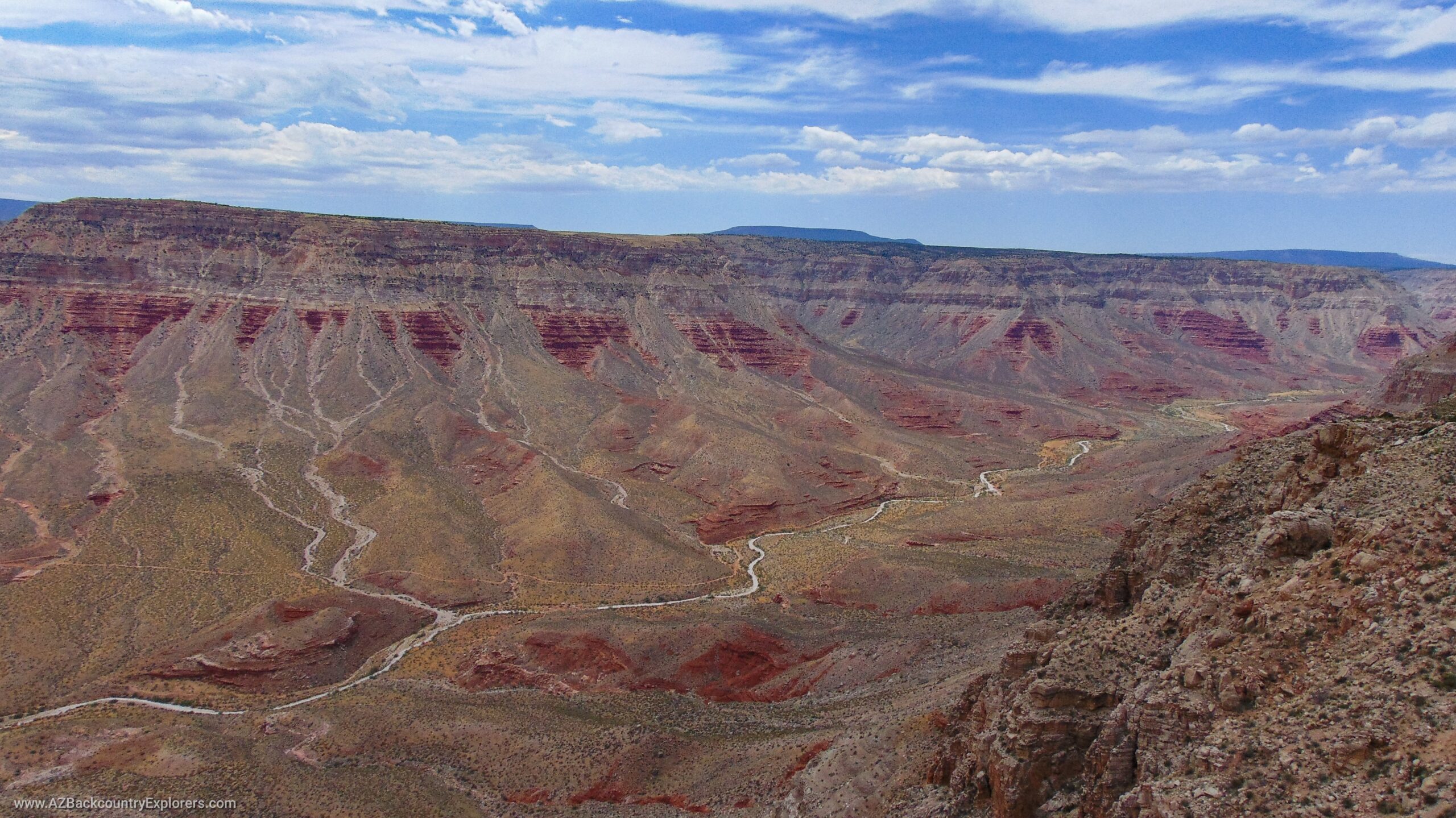
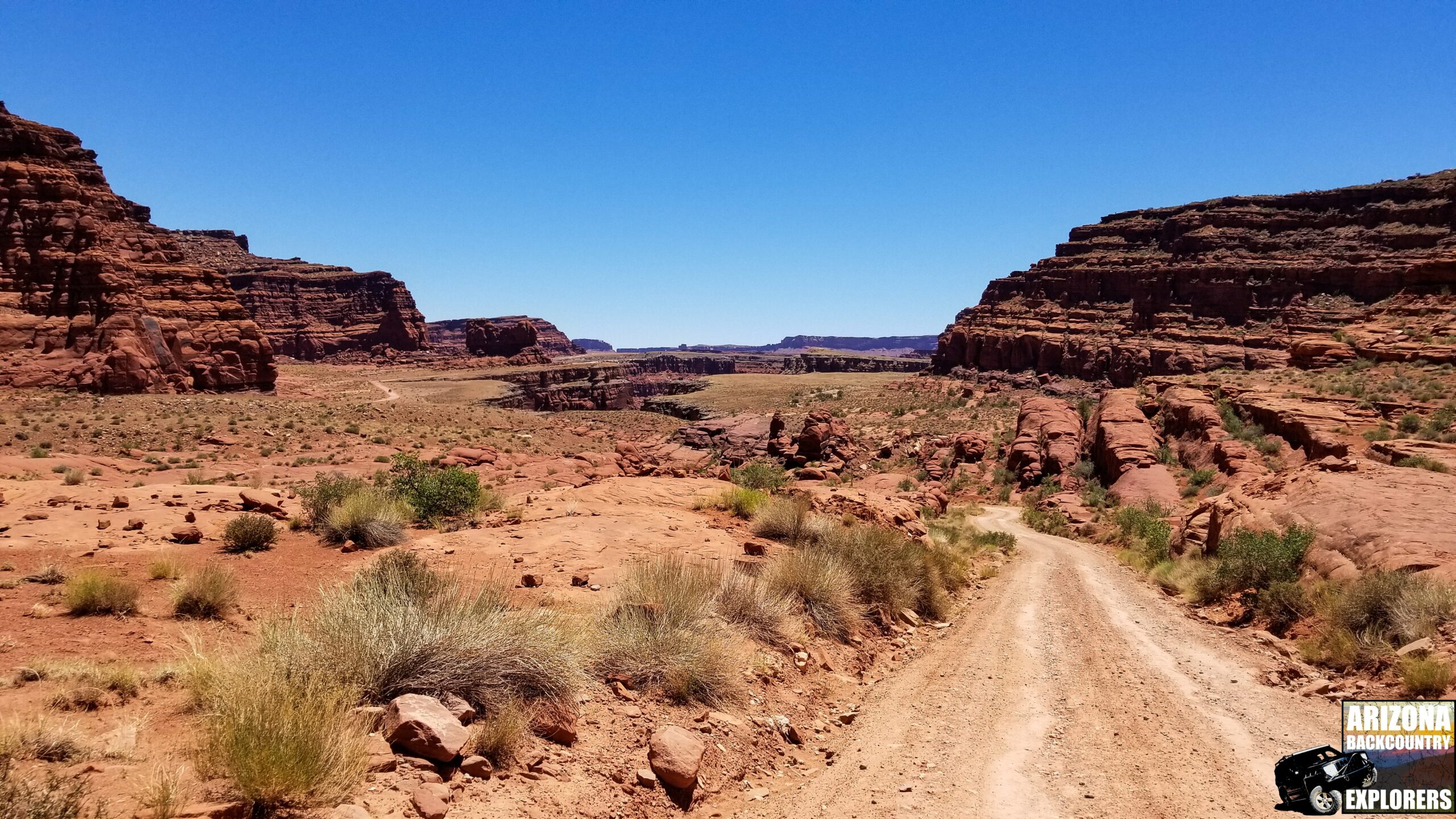
Upon my return to camp, the crew was almost ready to go. A quick, last-minute check around camp revealed one more rooftop tent to put away. In no time, we were on the trail. For the next two hours, we got a chance to see the beautiful canyons we missed the night before. The entire way out, we were graced with stunning views of the red sandstone of Parashant Canyon. It was hard to believe we were in Arizona.
We kept the pace as fast as possible without risking any damage. Before we know it, we’re at the collapsed section of the trail. The plan was to winch the fallen rock to the side so we could get around. Six people in the group quickly took over the task, including one anchorman, one wench operator, one line tender, and two strap positioners. The trail is now safe for others to pass by.
We continued for the next 6 hours completing every obstacle backward. The trail is just as fun and beautiful coming back. The sun started to set as we finished the last 10 miles of Parashant Canyon. The red sandstone blended with the dusk sky. It felt like we were surrounded by fire. By this point, the trail leads us with ease. The lovely smooth two-track, along with a beautiful sunset, was a sweet treat after 9 hours of technical trail.


Eventually, we start our climb out of Parashant Canyon and get another feel of the 25 percent grades. We drive over one of the biggest waterfalls I’ve ever seen, but I can’t see it. A blind right turn takes you up and over the falls with a sheer dropoff on the right side. This spot is frequently affected by rain and can wash out. Close attention to the weather is crucial to making sure you and your crew can make it out safely.
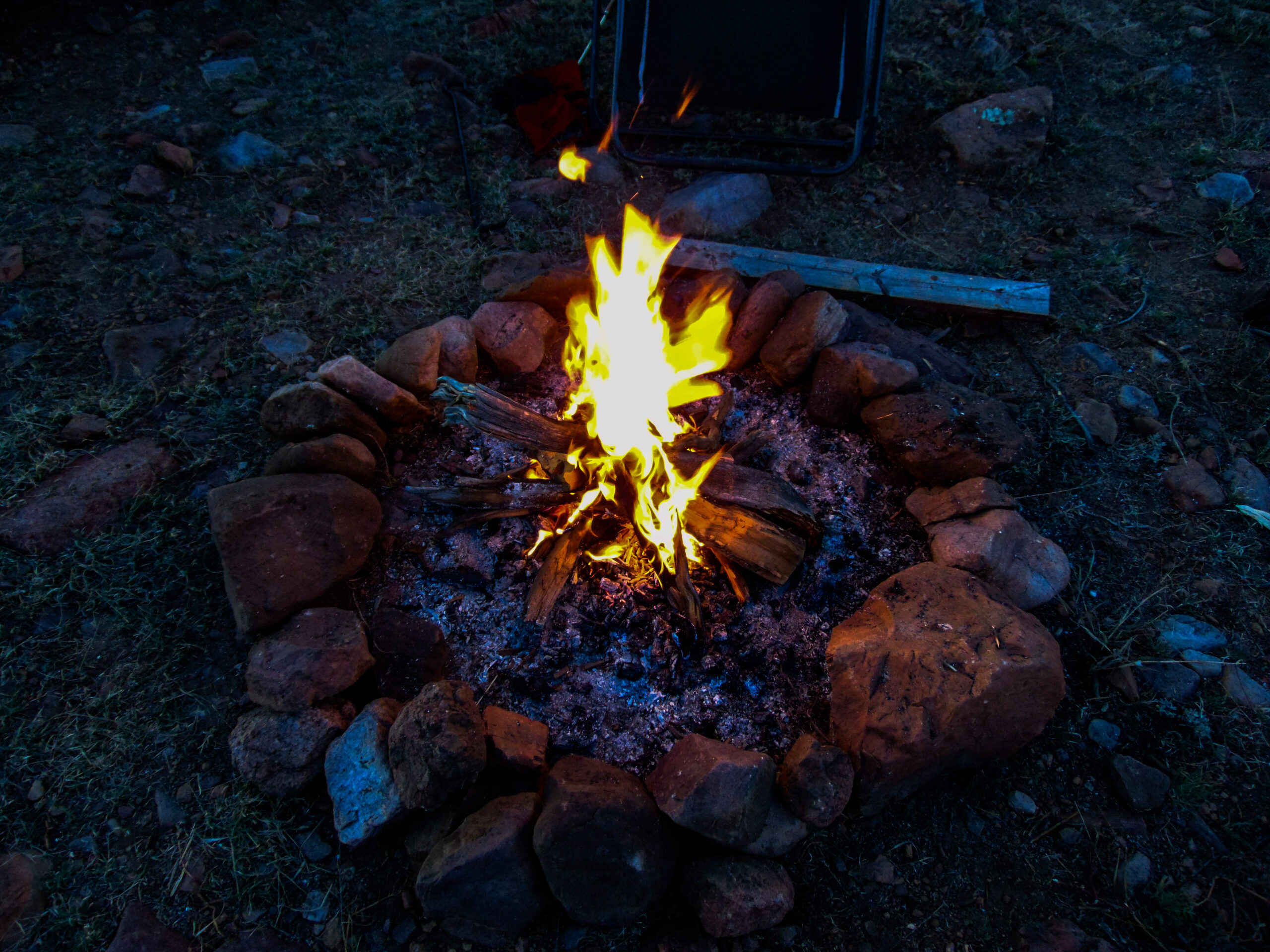
Beat up, worn out, and covered in an unusual amount of dirt, we find ourselves at a campsite at the top of Trail Canyon. A good friend served everyone some Hawaiian pulled pork sandwiches with a choice of either coleslaw or potato salad. I chopped up a watermelon and passed it around. This was our last night camping, and we had plenty of firewood left. Every last piece turned to ash while we stayed up until 2 am reminiscing old times. It was time for day 4 to wind down.
The following morning was no different than any other. Breakfast, drown the campfire, pack up camp. We still had an entire day worth of driving before we arrived home. Our departure would consist of 90 miles of nice smooth dirt to Fredonia, Arizona. It’s a beautiful drive with a couple of cool things to see along the way. The pace was kept at a steady 45 to 55 miles per hour as the Parashant Crew barreled themselves through the dust, all the way to the pavement.
Tags:
You may also like…
Visit the AZBackroads.com Store
Please Become A Member
We need your help to keep our backroads open. Please join today!
