A long-awaited trip to the Sierra Ancha Mountains
I was thrilled by our members’ positive response to our most recent trip through the Sierra Ancha mountains. The journey had been on my bucket list for months until a last-minute decision and time to spare sent us down forest road 203 back to Globe. It wasn’t part of the plan, but my friend Ryan and I were more than thrilled; we didn’t want to go home!
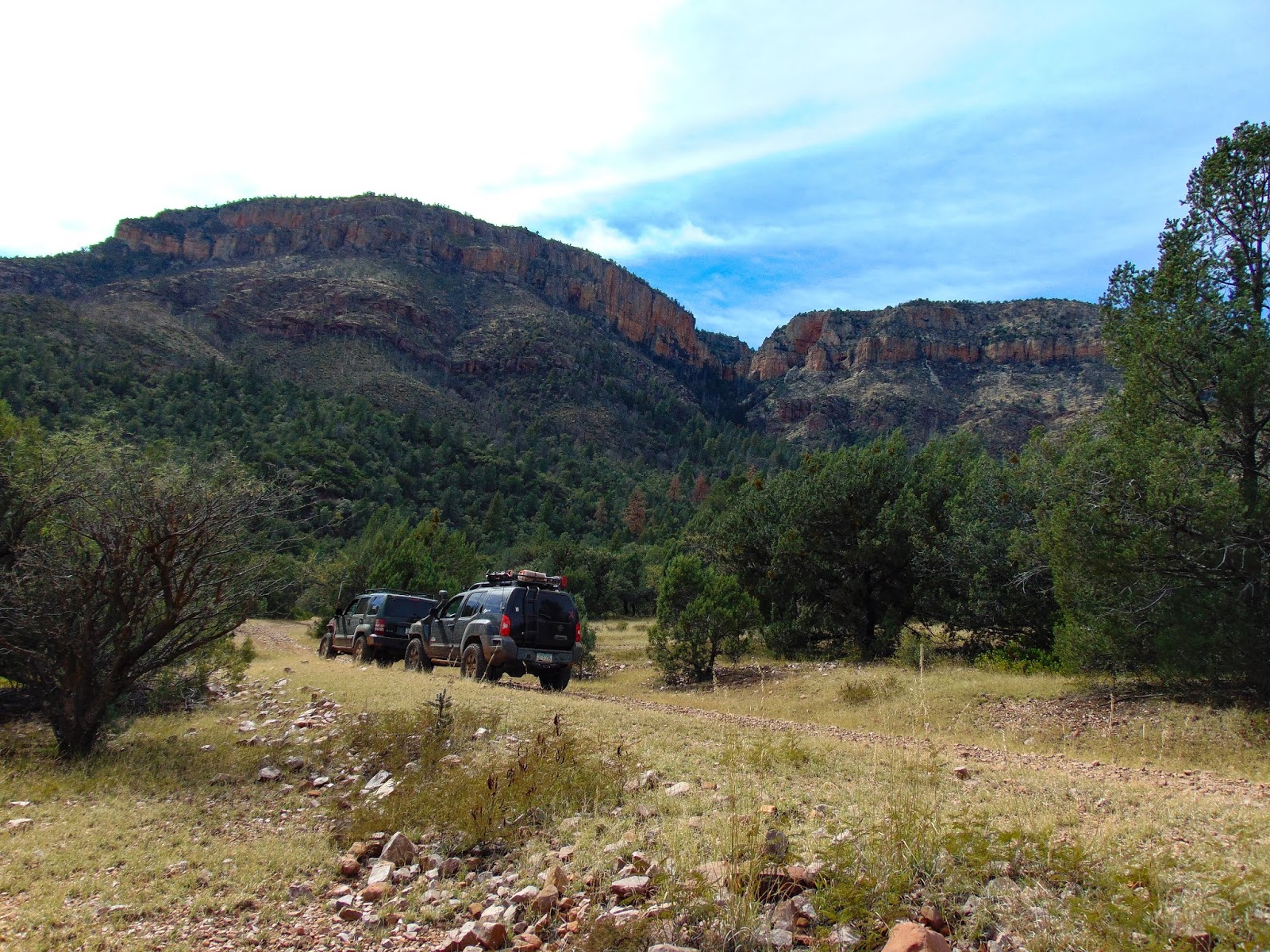
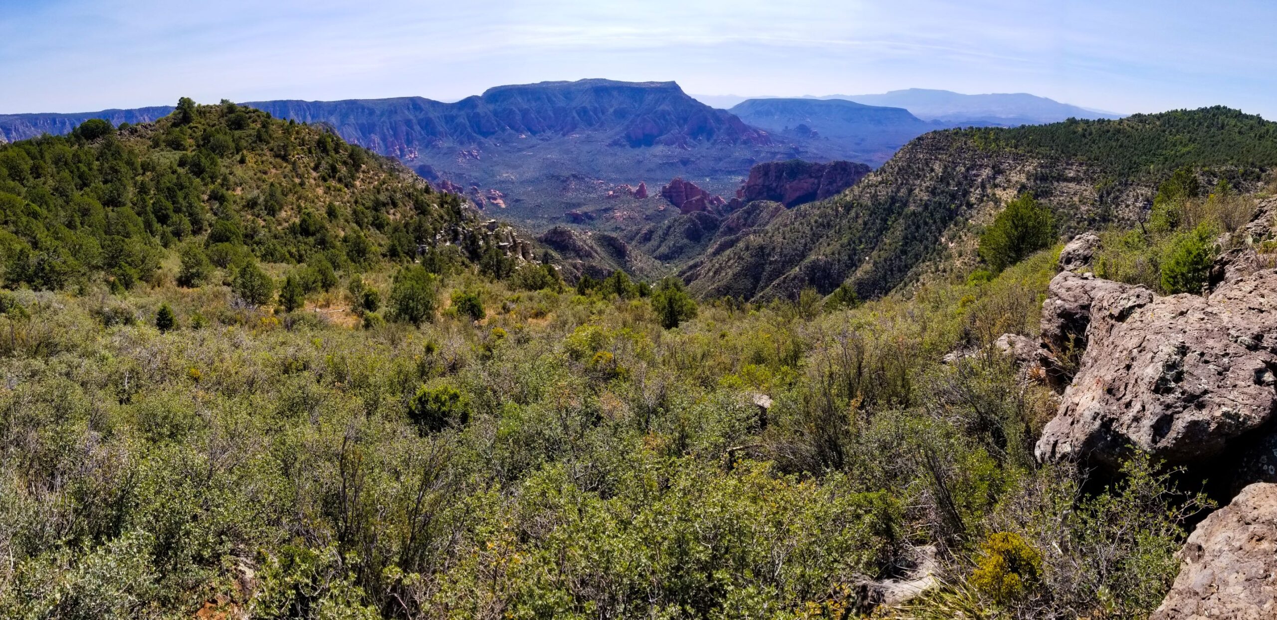
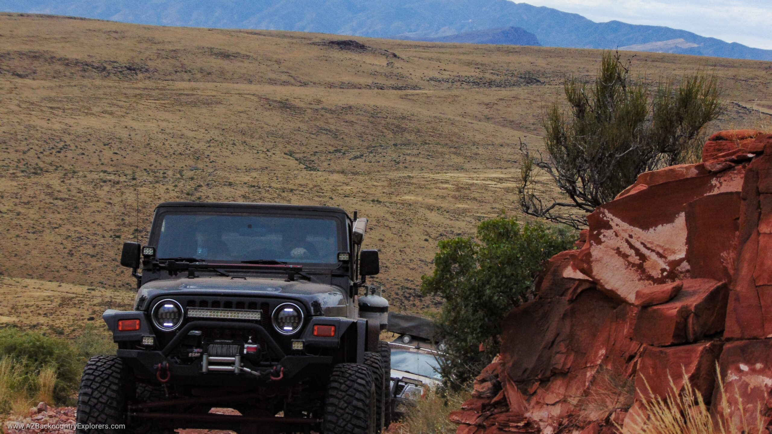
We started our trip in Punkin Patch and headed to Tonto Creek to air down the tires. As we ascended picture mountain, we got an excellent view of the Tonto Basin from behind and Juniper Canyon to the left. “Keep an eye on your temperature gauge,” I thought to myself as we climbed 1800 feet to the saddle of picture mountain and Juniper Mountain. In just over 2 miles, we reach the saddle, where the sound of the wind blowing through the tall pine trees becomes prominent. From here on, it’s a nice easy ride to State Route 288.
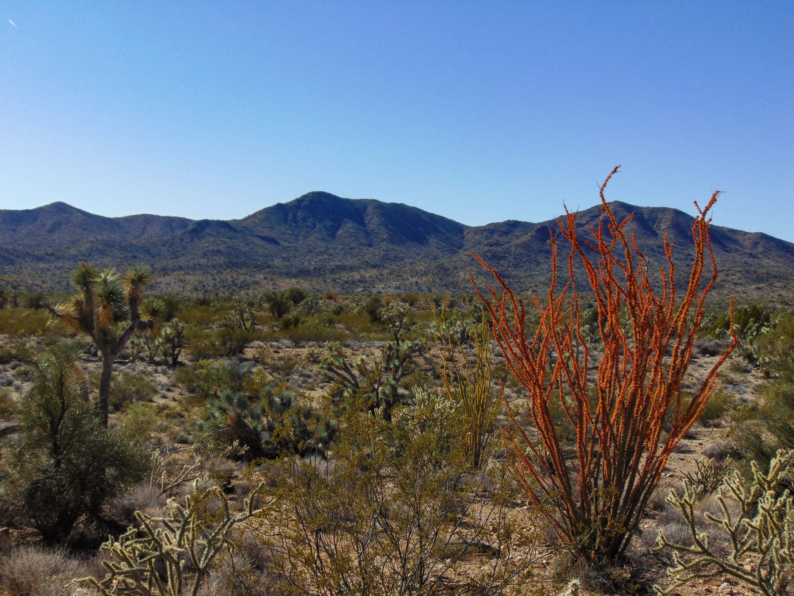
As we continue, the driver’s side window is full of excitement. Turkey Creek has some beautiful rock formations and waterfalls. It’s a great place to stop for lunch and a quick look at the canyon. I could only imagine seeing the waterfalls in motion. After some time, you enter a burned area where the trees open up, and Manzanita dominates the landscape. From the trail, you can see the Mogollon rim nearly 50 miles away. The views are spectacular for the next 40 miles to State Route 288. Arizona State Route 288, AKA Desert to Tall Pines Scenic Road, is a 52-mile maintained dirt trail from Theodore Roosevelt lake to Young. It’s true to its name and provides travelers a chance to witness the change from desert to forest, along with some great opportunities for hiking, mountain biking, and four-wheeling.
As the sun sets, we approach Young. It’s a little late to be setting up camp, but we found a spot after searching for a while and settled in for the night.


Another destination checked off the list, Cherry Creek.
Day 2
Day 2 began with breakfast and a quick run to the Young gas station to top off the fuel and ice chest. We were sure to grab some more food and water. The word on the trail is that Cherry Creek is washed out and not passable. We had no idea what to expect, and we were prepared for a challenging 80 miles to Globe. Unsure of how long it would take, we quickly made our way to the trail.
Right away, we drop into a rocky river bed, and the trail is nearly unrecognizable. Following the forest service signs, we climb out of the river and onto FR 203. The fall colors gradually become more robust as we continue. The trail becomes more and more predictable as it winds up, over, and around the canyon of Cherry Creek. Each tributary provides beautiful color, water, and a path to the rocky cliffs above. The mountains here are impressive. Sheer cliffs rise above the trail to the west, where you will find the Sierra Ancha Wilderness. Here, you can find prehistoric cliff dwellings built sometime around 1350 A.D. by the Salado Indians. Some are extremely difficult to access, requiring free climbing and rappelling. Extreme rock climbers and backpackers could spend weeks exploring the Aztec peak and the surrounding mountains. Along the way, P B Ranch sits to the east of the trail. It’s a nice place to stop for lunch or camp for the night. There is a cabin and other remains from the pioneer days.
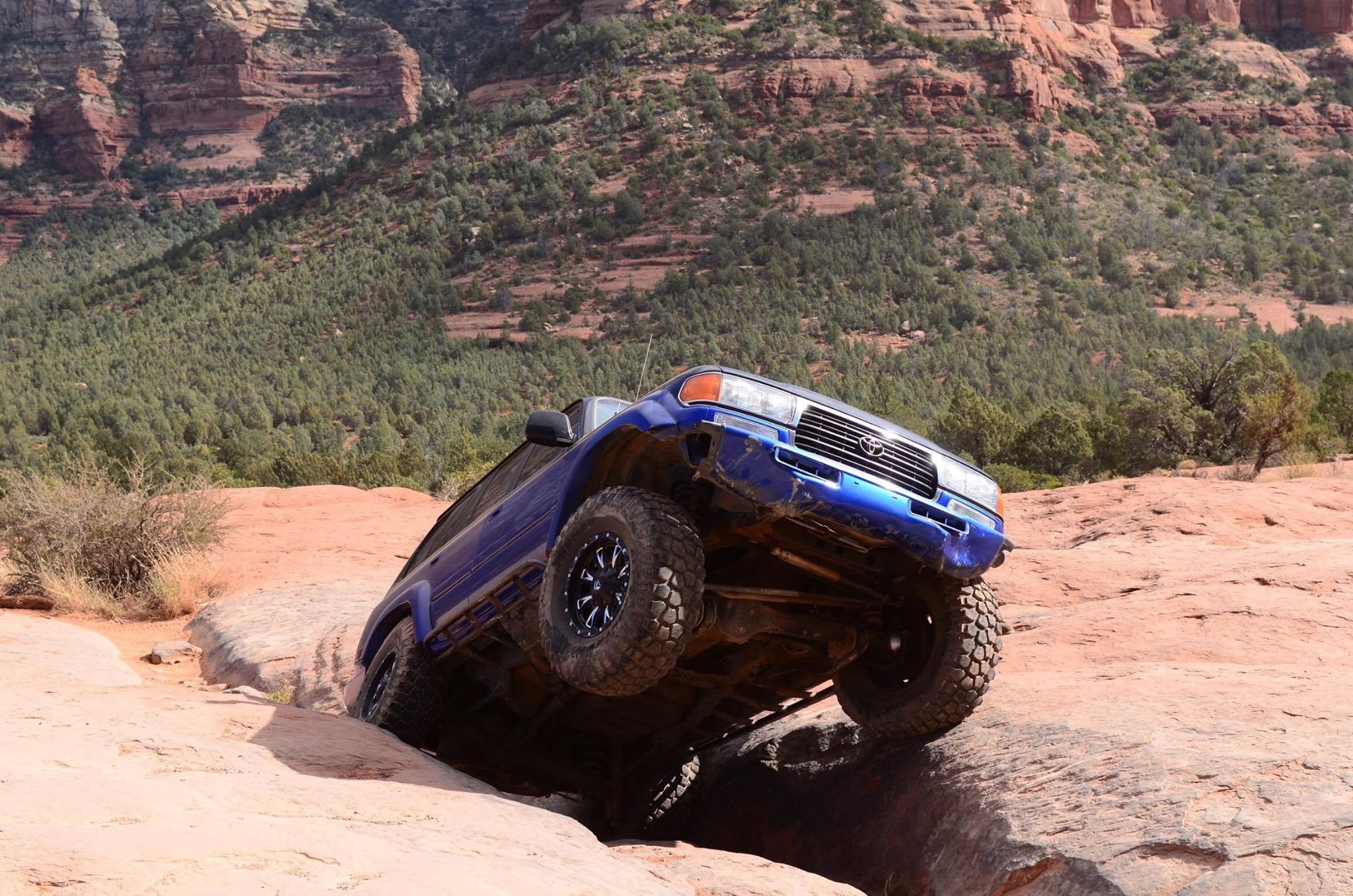
Along FR 203, there are several minor washouts at every river crossing. Nothing a high clearance 4×4 with an experienced driver couldn’t handle. One section tilts you towards the cliff, where a washout has taken the trail. In another area, the track is completely gone, and others have created a bypass. The bypass requires a sharp, off-camber, 2-point turn. Highly modified off-road vehicles can use the original trail and take advantage of the washout. The trail is undercut about 3 to 4 feet and ready to collapse just ahead of the bypass. Drivers must navigate these sections with caution. Full-width, long-wheelbase vehicles will have issues on this trail. Several sharp dips range from 4 to 5 feet, where high centering and hanging your bumper can become an issue.
It’s a slow, bumpy, but easy 35-mile ride to the county-maintained portion ahead. As we press forward, we spot a blue jay and a herd of mule deer. It’s a great day to be a deer on Cherry Creek. They pay no attention to us as we stop, photograph, and admire. At our lunch stop, we met a hunter. He tells us about a huge washout down the trail that he almost flipped his four-wheeler on. This builds more excitement for Ryan and me. We reached the washout and found a bypass. After cautiously navigating the washout, we continue towards State Route 288. The trail becomes maintained for approximately 20 miles before we reach state route 288. We hit the blacktop just in time for a beautiful sunset over Theodore Roosevelt Lake.


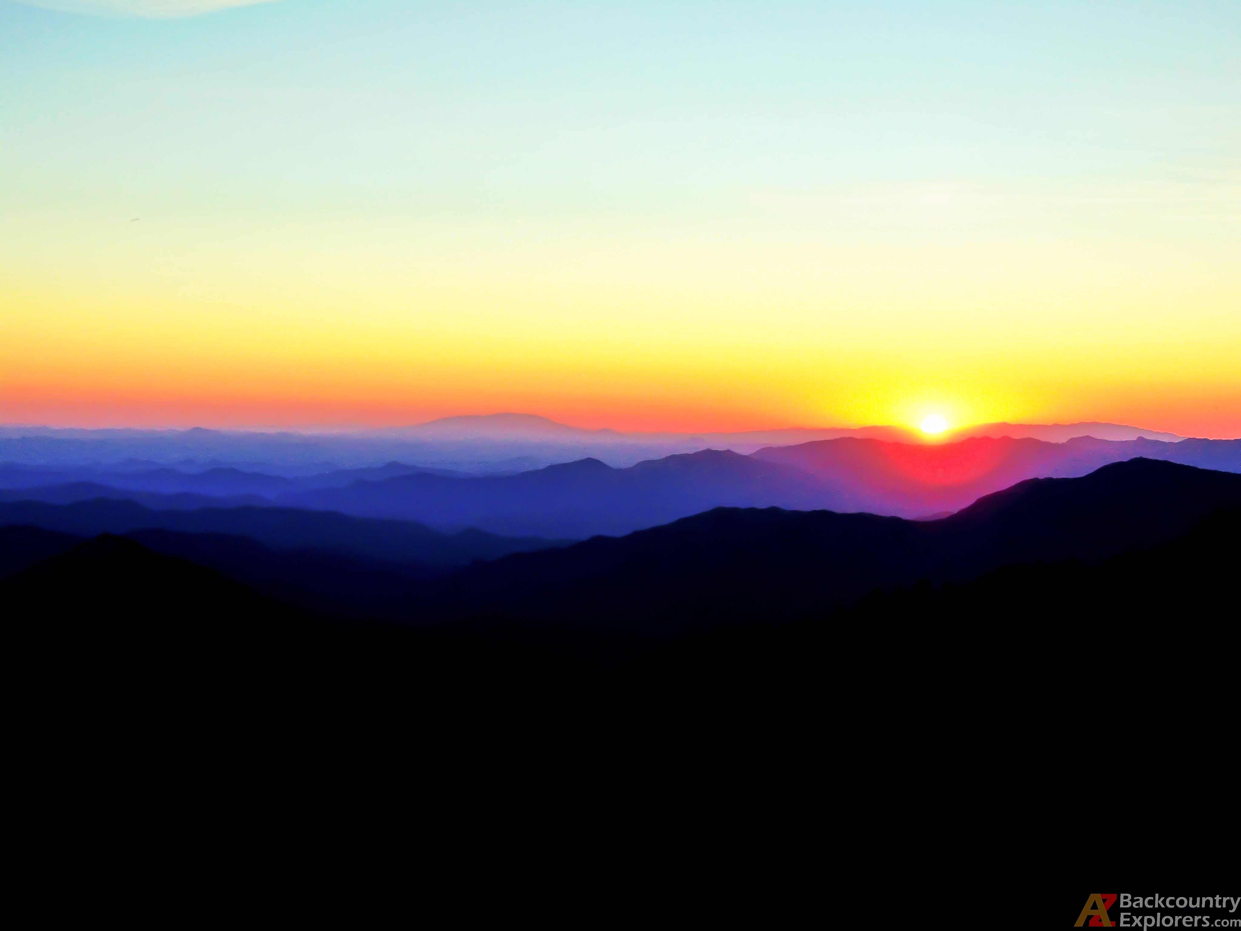
The sunset on the way home was worth waiting for.
Cherry Creek road, aka Forest Road 203, is set to close this year upon completing the 2018 Tonto National Forest travel management plan.
The trail weaves in and out of the Sierra Ancha Wilderness. During the Sierra Ancha Wilderness creation, land managers failed to align the Wilderness border with Forest Road 203. The southern portion of the Wilderness border is aligned with the trail; the northern part is not. By law, a Wilderness Area can’t contain any roads. Therefore, our land manager’s solution is to close Forest Road 203. Unfortunately, it will take an act of Congress to realign the Wilderness border and keep Cherry Creek Road open for all.
Furthermore, once Cherry Creek Road is closed, there will be no way to access a large portion of the Sierra Ancha Wilderness. It will effectively place tens of square miles of public land in gridlock. It bums me out, but I’m glad I got a chance to complete Cherry Creek Road before its closure. With all of the trails in Arizona facing closure, this one might be the most significant loss. Young strongly relies on tourist activity. Cherry Creek Road will no longer be an attraction, with the off-road community being a good portion of that tourism. Yes, there are other ways to get to Young. But Cherry Creek road is a historical trail that has attracted many off-road enthusiasts from all over Arizona.

Here you can see this portion of the Wilderness boundary is appropriately aligned with Forest Road 203.

Here you can see the Wilderness border is not aligned with Forest Road 203.
