Your cart is currently empty!

Solo Adventurers | Three things you shouldn’t leave home without
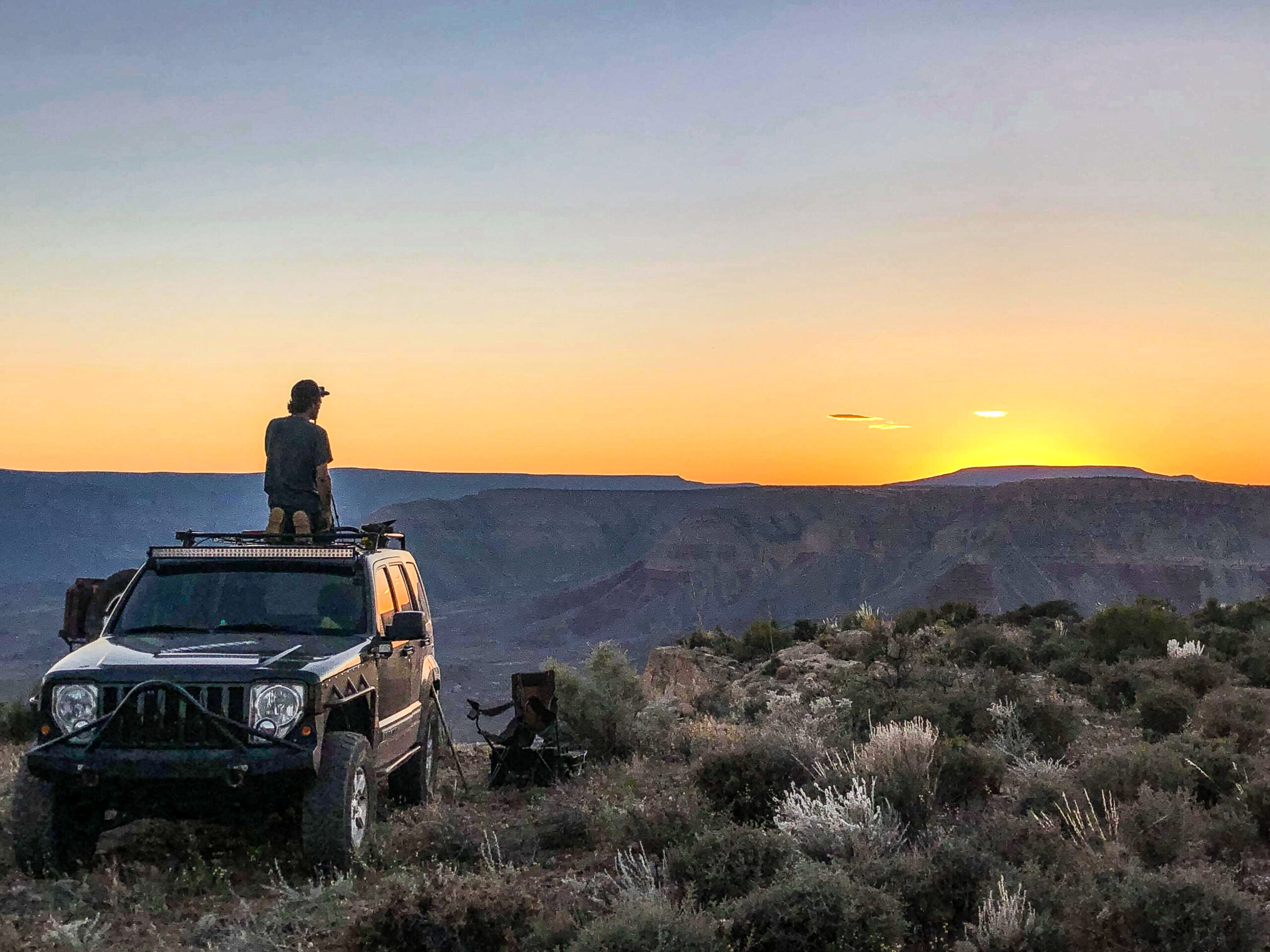
No cell phone, computer screen, or fellow human to distract. No bright lights, police sirens, or pavement to remind you of day to day life. We do it because sometimes, we need to get away from it all. However, adventuring alone can come with some significant consequences.
The historic Mogollon Rim Road | 25 miles PERMANENTLY CLOSED
532 mile proposed trail closure threatens Rim Road Yup, you read that right. A large portion of the Mogollon Rim Road ( Forest Road 300 ) is under threat of closure upon completing the Apache Sitgreaves National Forest Travel Management Plan. A section that spans approximately 25 miles from US 60 to SR 260 may…
120,000 acres of pristine wilderness burnt | Woodbury fire
A look at the destruction of the Woodbury fire I took a drive to the Reavis Ranch trailhead yesterday. The destruction from the Woodbury fire is immense. It looks like a completely different place. Although wildfires are a naturally occurring thing, we should do our best to mitigate human-caused fires. Because those who need to…
ATTENTION 532 mile proposed trail closure | Apache Sitgreaves National Forest
Public commenting open for Apache Sitgreaves National Forest Travel Management Plan The Apache Sitgreaves National Forest is asking the public to submit comments concerning a travel management plan in northern Arizona. These changes will affect access to our public lands. It’s important that the public gets involved. In this article, you can find links to…

Gold Tooth Pranty | The Arizona pioneer who was lost in history
The story of a lonely Arizona pioneer named Gold Tooth Pranty Fred Pranty was a rancher, prospector, hunter, and an Arizona pioneer, whose story was lost throughout history. He lived a solitary life in the Sierra Ancha mountains and was known as the greatest mountain lion slayer in the territory. He was said to have…
Parashant National Monument | Episode 1 Day 1
Before I made the trek into Parashant, I had no idea of the beauty that was just hours away from my home. It’s easy to underestimate the Parashant. I have seen so many pictures of the Grand Canyon; I feel like I’ve been there a million times. But there is nothing like camping right on…

GPS | Your best friend on the trail
I’m a huge fan of the Backcountry Navigator apps. It’s got to be one of the best GPS programs available. I’ll be honest, I’ve never used anything else. Having a GPS is essential for many reasons. Knowing what type of land your on will help you understand what rules need to be followed.
Bureau of Land Management Recreation Map
A great resource to find your next adventure. If you don’t have a 4wd to get into the deep backcountry of your state, then you might like this map. On this map, you will find various places to visit on Bureau of Land Management land. This information is provided directly from BLM’s website. This map…
Memorial Day Trexpedition | The trio united
Join an unforgettable Memorial Day Trexpedition through the stunning Sierra Ancha Mountains in Arizona. From navigating technical trails like Cherry Creek and the Sierra Ancha 4×4 loop to exploring historical sites like the decaying DuPont cabin and Copper Mountain Mine, this off-roading adventure offers breathtaking scenery and challenging terrain. Discover the beauty of Arizona’s backcountry,…
Day Five | Broken Arrow trail and a blizzard
Playing catch-up and stopped by a blizzard We are finally on day five and the crew was running low on supplies. Many in the group stressed that we stop at a grocery store. I was well stocked and wasn’t in need of anything but ice. I had plenty of meat and various fruits, vegetables, instant…
