Your cart is currently empty!
The Bureau of Land Management Yuma Field Office is seeking public comments on a proposed transportation network that will impact access to 1,421,333 acres of land in the Yuma East and Gila River Valley Travel Management Areas (TMA). The proposed road network includes a total of 1,339 roads that total 1,271 miles between Yuma, Arizona, and Interstate 10.
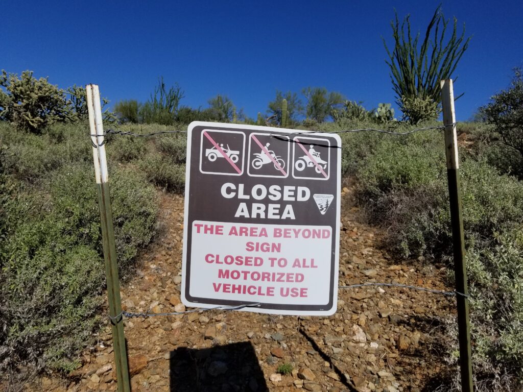
The proposed management plan will dictate the use of roads on public lands around the Barry M. Goldwater Range, Yuma Test Range, and Kofa Wildlife Refuge, impacting access to many popular areas. The proposal is part of the Bureau of Land Management Travel and Transportation Management (TTM) planning required by Executive Order 11644 from 1972. The planning process is meant to designate a system of roads and trails for motorized use.
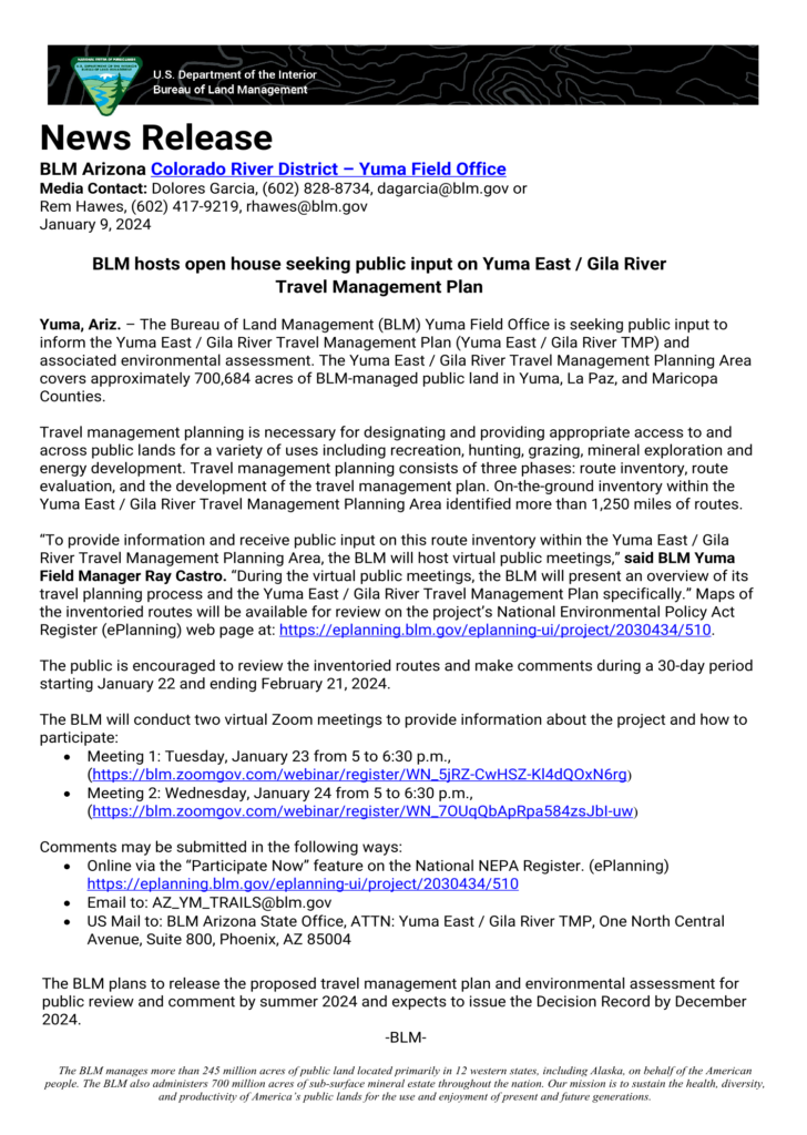
The National Environmental Policy Act requires the Bureau to evaluate the environmental impact of its decision. Therefore, the Bureau is asking for comments on the proposed trail system and possible resource damage. The Bureau published a press release on January 9, 2024, announcing its intention to open the proposal for public comment between January 22 and February 3.
Read the Bureau’s press release below
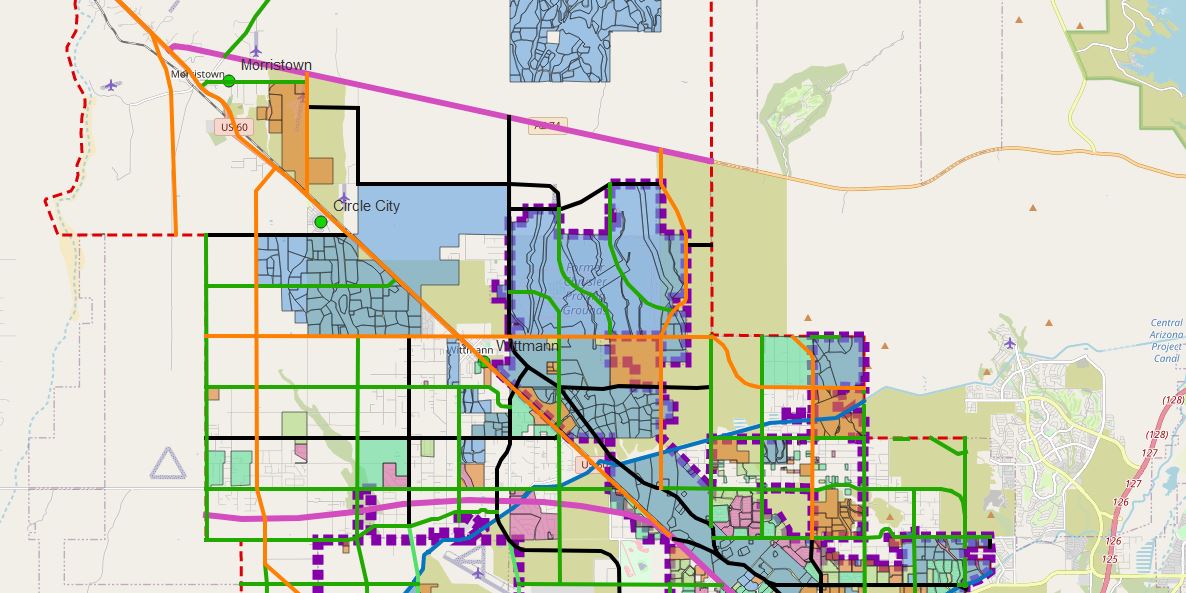
View the existing travel network as proposed by the Bureau below.
This map represents all existing roads identified by the Bureau. Throughout the TMP process, several of these roads will be closed based on various environmental standards. Third-party private environmental consulting firms will be employed to conduct an environmental assessment and provide three alternative transportation networks. The Bureau will modify one of the three provided alternatives based on substantial comments from the public.
Submit a comment
Arizona Backcountry Explorers encourages motorized public land users to submit comments on this proposed plan and stay involved throughout the planning process.
You can use our pre-written comment provided below, or provide your own.
Yuma East / Gila River Travel Management Plan
Tags:
We Need Your Help To Keep Our Backroads Open!
Please become a member today!


