Your cart is currently empty!

AZBackroads Launches New Interactive Map to Visualize Fire Restrictions in Arizona
Discover AZBackroads’ new interactive fire restrictions map, a fast, user-friendly tool built with proprietary technology to visualize Arizona fire restrictions. Access real-time data, geolocation features, detailed restriction information, and more with unparalleled responsiveness.

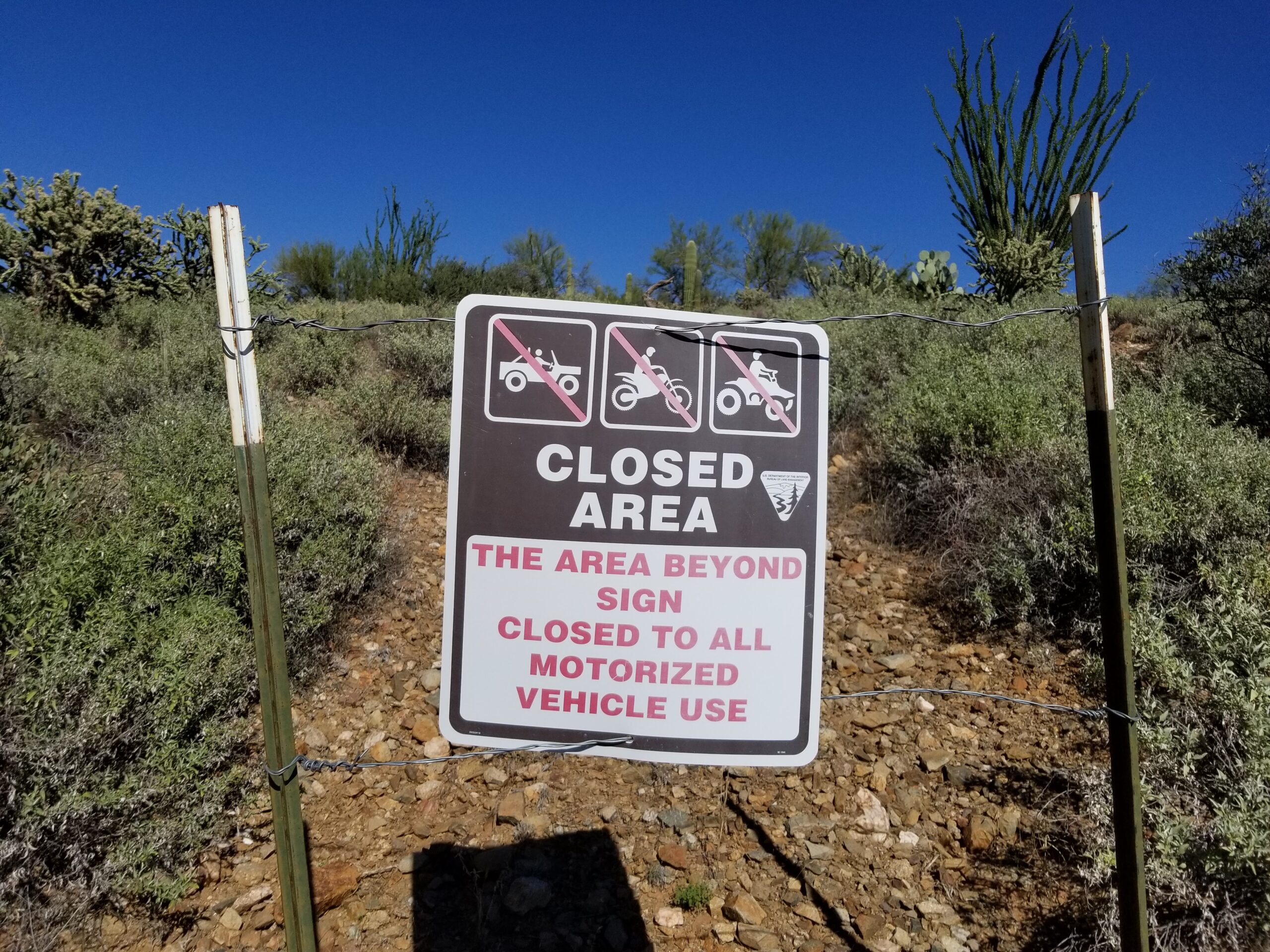
This map Visualizing Road closures on public land will shock you
We have compiled an interactive map illustrating road closures through travel management planning on Bureau of Land Management land and National Forest land in Arizona. Although this map is incomplete and does not include travel management plans completed between 1997 and 2014 on Bureau of Land Management land, it showcases federal agencies’ extensive efforts to…

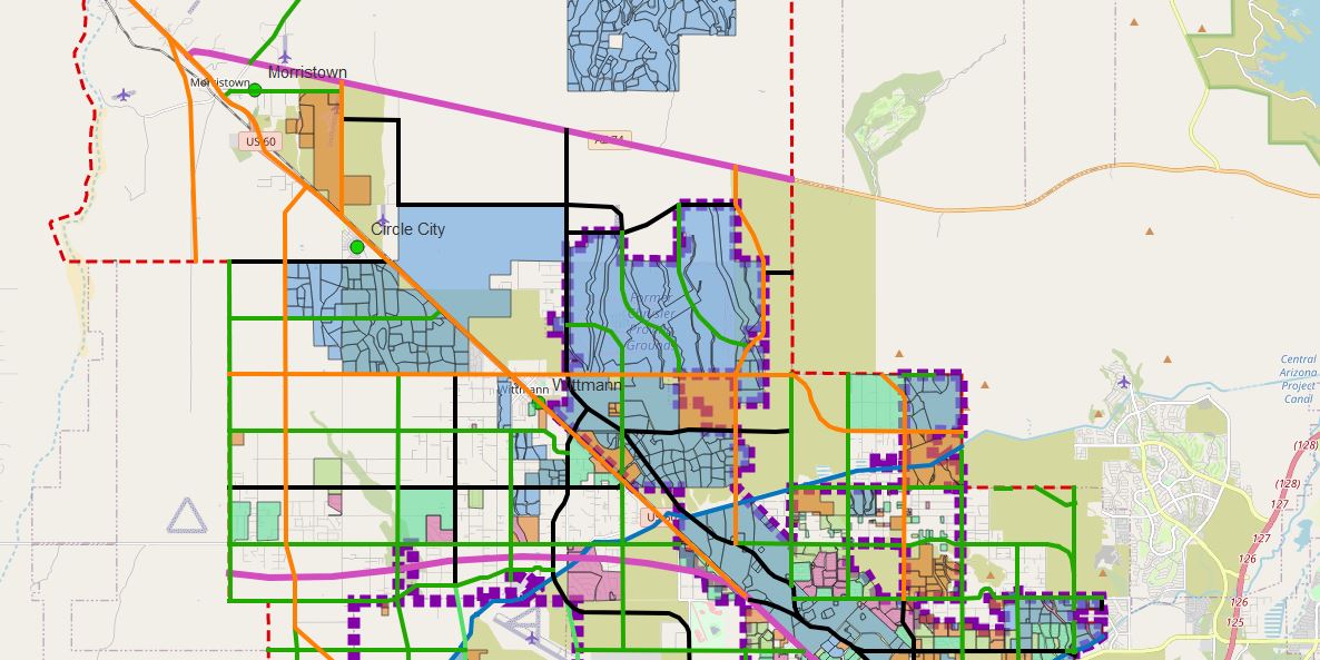
The Threat to Arizona’s Rural Way of Life: The Battle Against Massive Master-Planned Communities
We cherish our rural way of life, with its quiet neighborhoods, low crime rates, and small family-owned businesses. We appreciate the beauty of nature, wildlife, and the rich history of the area. However, this rural way of life is threatened by massive master-planned communities being developed in the West Valley. These communities, led by the…

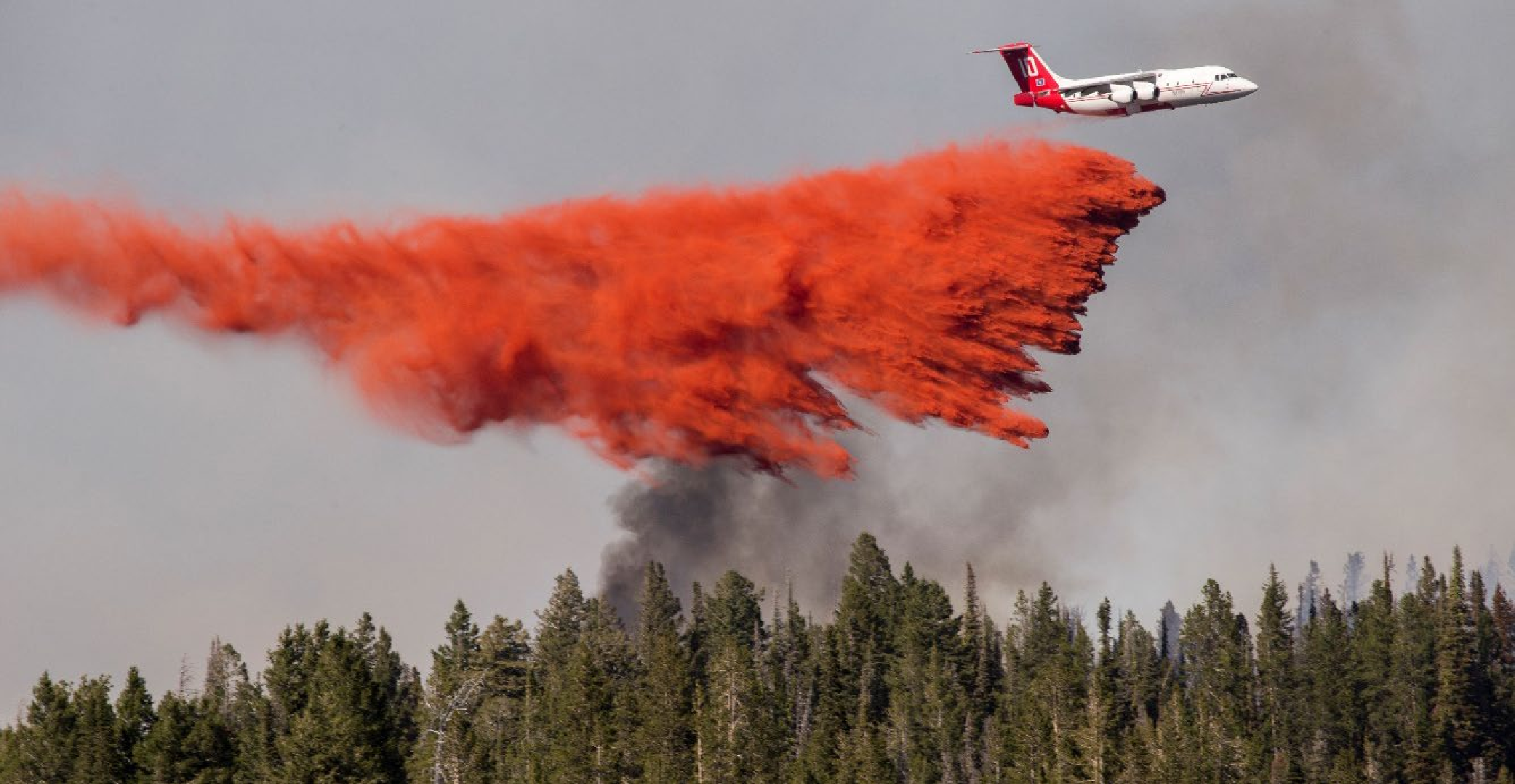
U.S. Fish and Wildlife releases biological opinion on the use of fire retardants on National Forest lands
The U.S. Fish and Wildlife Service released a Biological Opinion on February 15, 2023 as part of a Supplemental Draft Environmental Impact Statement (EIS) regarding the use of aerial fire retardant on National Forest lands. If finalized, the Supplemental Environmental Impact Statement will establish additional “avoidance areas” that prohibit the use of fire retardant within…

NASA Worldview Map | Daily Satellite Imagery of Arizona
View daily satellite imagery of Arizona using this inactive map provided by NASA.


