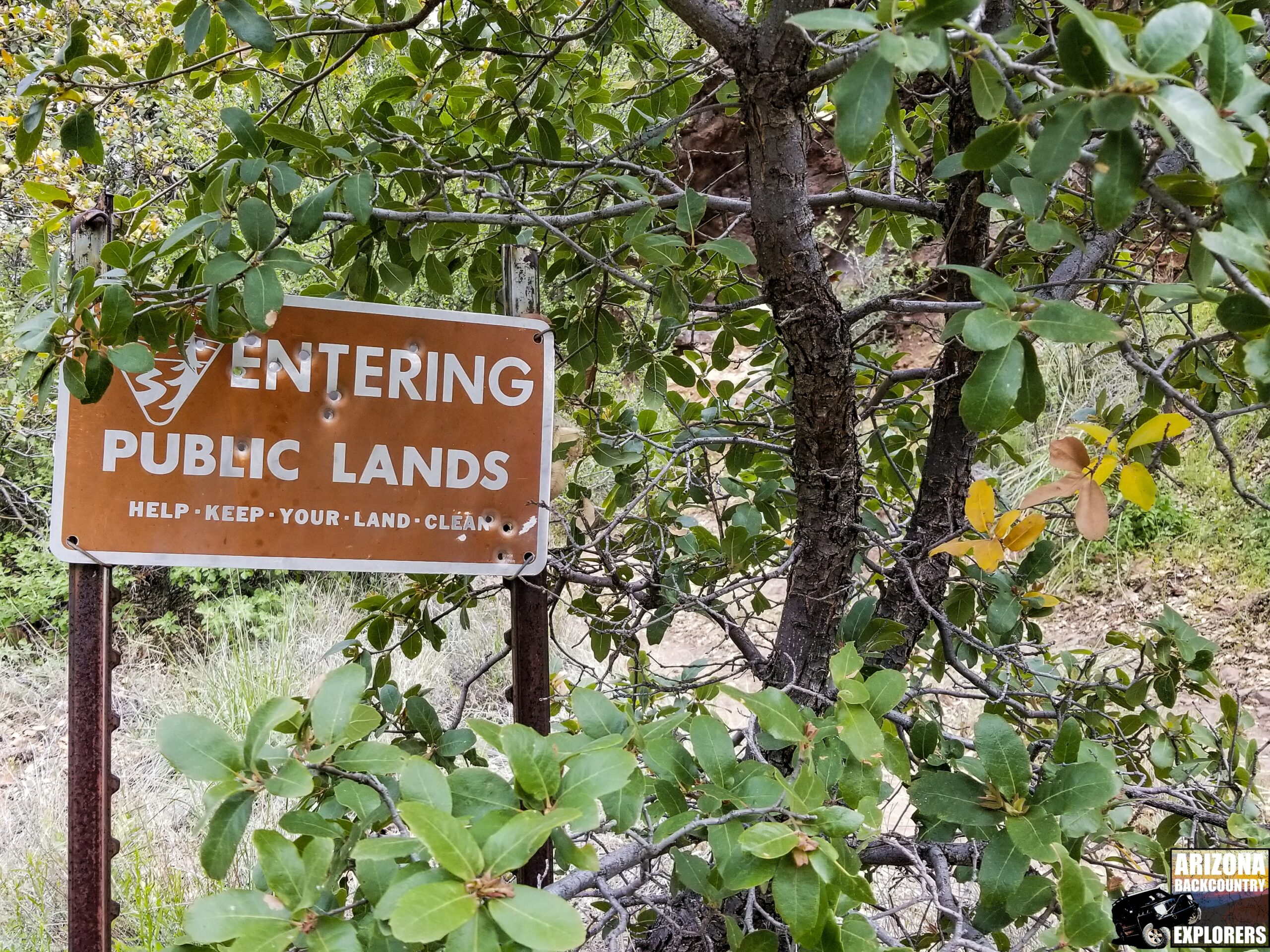
532 mile proposed trail closure threatens Rim Road
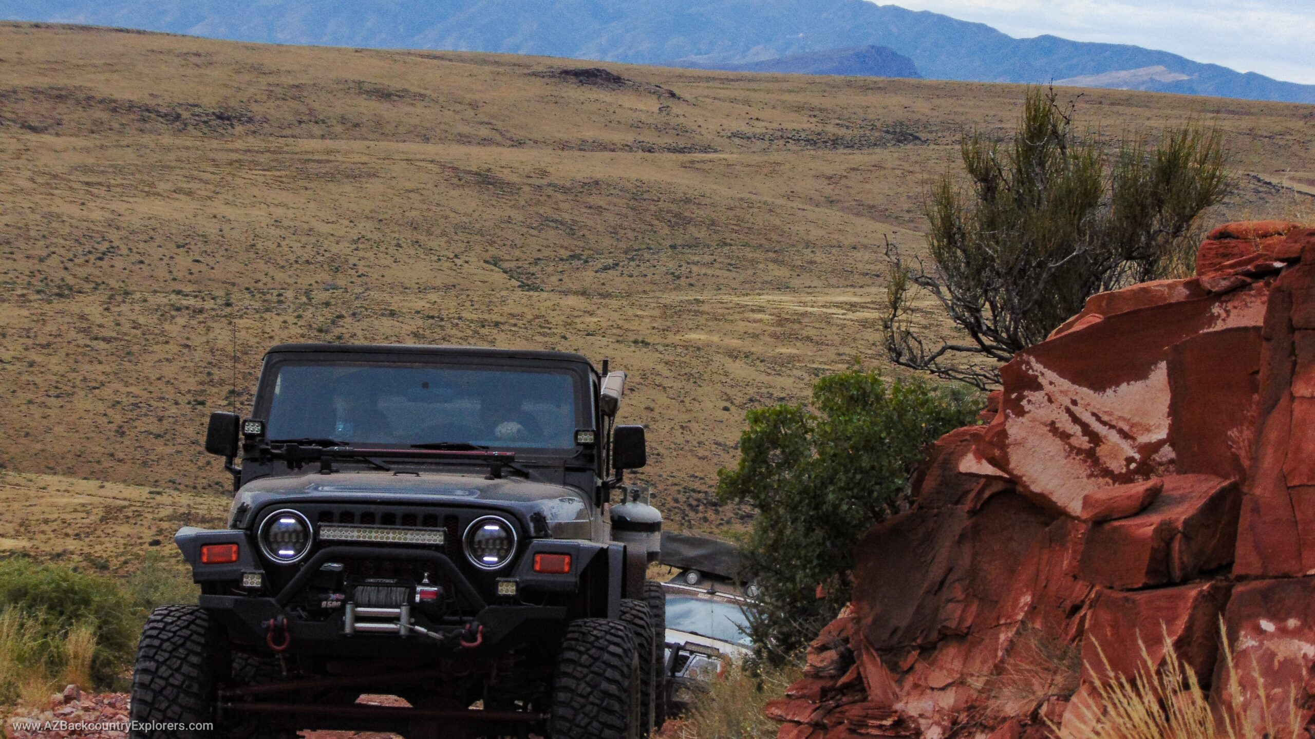
Yup, you read that right. A large portion of the Mogollon Rim Road ( Forest Road 300 ) is under threat of closure upon completing the Apache Sitgreaves National Forest Travel Management Plan. A section that spans approximately 25 miles from US 60 to SR 260 may become inaccessible. It’s a beautiful backcountry drive along the northern border of the Fort Apache Indian Reservation.
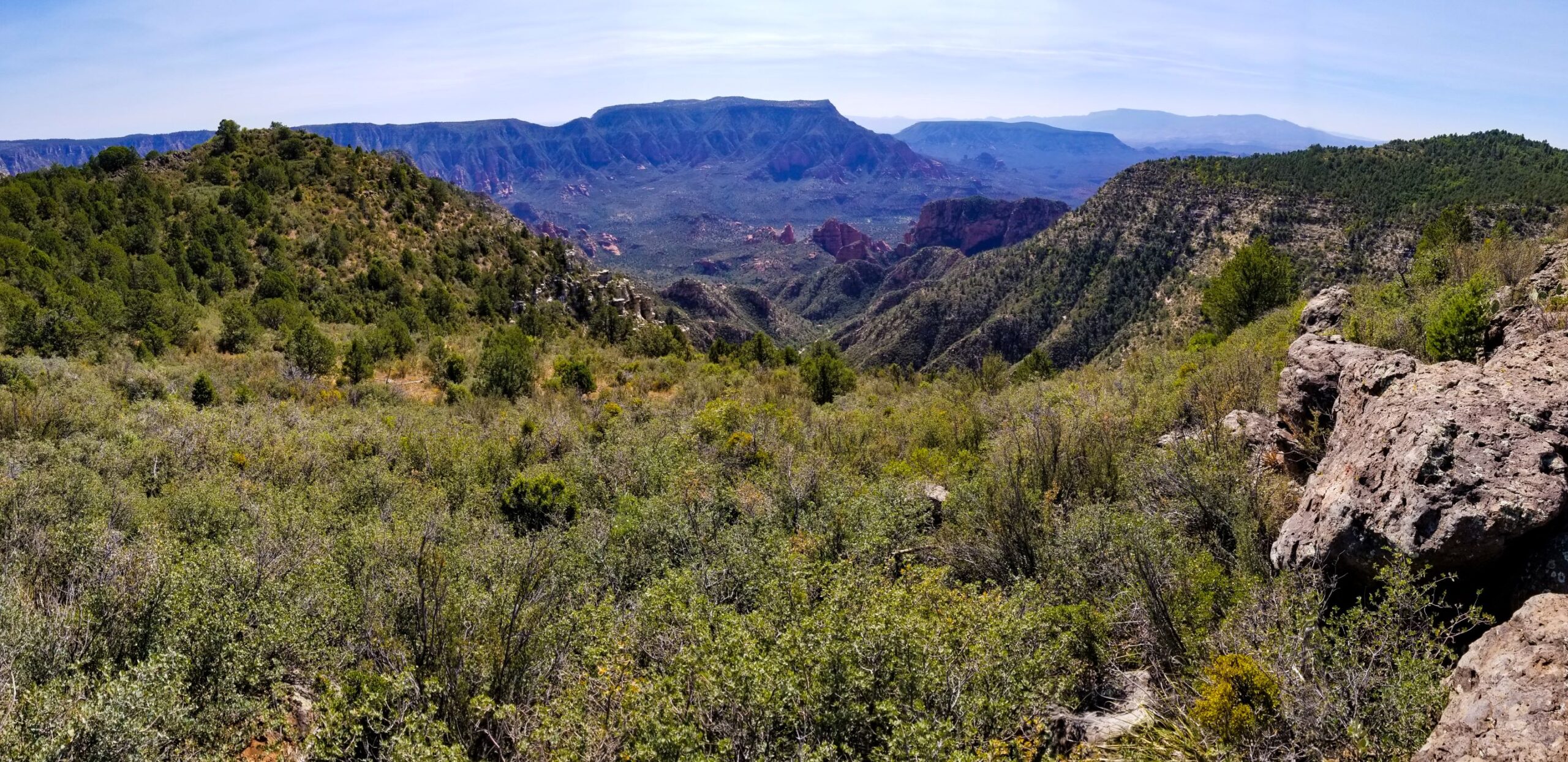
The Mogollon Rim is one of Arizona’s most treasured landmarks. Its cliffs can be traced for 400 miles or more across Arizona. Beginning with the bustling cliffs of the incredible Fossil Creek, it doesn’t seize until a few miles from the New Mexico line. It’s an iconic landmark that only the Grand Canyon can rival.
The Mogollon Rim was so important throughout history; it was used to mark the boundaries of Coconino and Gila counties as well as several Forest Service ranger districts. The Mogollon Rim is still a highly visited landmark, but most of the public only sees a small portion.
RS2477 and Arizona Revised Statute 37-931
Rim road can be found on topo maps as early as 1886 and cannot be closed per Arizona and federal law. According to the Federal Land Management Act of 1976, Any roads built before 1976 fall under RS2477, which says explicitly these trails must remain open to the public.
Arizona went a step further, reasserting our trails fall under RS2477. In 2014 House Bill 2175 passed into law becoming Arizona Revised Statute 37-931. Read the law from the Arizona Legislature HERE.
What can I do?
Call attorney-general Mark Brnovich and our Congressman to gain their support!
Voice your opinion! No matter what side of the fence you’re on, you should get involved. You don’t need to be an Arizona resident to submit a comment.
Any comments made have to be concise and based on one of the factors used by the National Forest. This is not a system that recognizes emotional pleas for keeping trails open, nor do they count biased comments.
Share this with your friends, clubs, organizations, and groups.
Learn about the TMP and review the Environmental Impact Statement (EIS) and all other documents HERE.
PLEASE HURRY, WE HAVE LIMITED TIME
September 19, 2019, at 5:00 pm
Show Low Police Department
Darrin Reed Community Room
411 E Deuce of Clubs
Show Low, AZ 85901
Review the Environmental Impact Statement (EIS) and all other documents HERE.
Use the online comment form HERE.
Use the online comment map HERE.
Mail comments to
Travel Management Plan Comments
P.O. Box 640
Springerville, AZ 85938
Fax comments to
928-333-5966
Please mark “Attention: Travel Management Plan Comments.”
Hand deliver comments to
30 S. Chiricahua, Dr.
Springerville, AZ 85938
Call attorney-general Mark Brnovich and our Congressman to gain their support!


