Your cart is currently empty!
Posted in
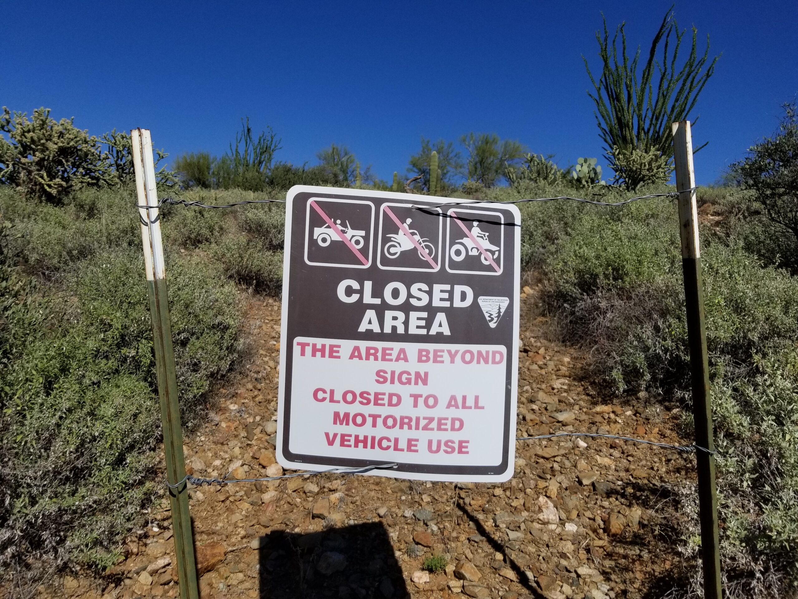
We have compiled an interactive map illustrating road closures through travel management planning on Bureau of Land Management land and National Forest land in Arizona. Although this map is incomplete and does not include travel management plans completed between 1997 and 2014 on Bureau of Land Management land, it showcases federal agencies’ extensive efforts to regulate road use on federal lands in Arizona.
Additionally, this map does not include:
- Tonto National Forest TMP that closed 1,853 miles of roads.
- Fredonia and Arizona Strip TMP that closed 670 miles of roads.
Federal agencies still need to finalize travel plans for 19 travel management areas across the state that have been delayed for decades. Therefore, the total number of roads closed is far greater than seen here. We estimate that an additional 18,000 miles of closed roads are missing from this map due to the lack of available data or the travel management plan has not been completed.
On this map, there are a total of 20,567 different roads that average 1.9 miles long and collectively consist of 39,541 miles that are closed or where motorized use is restricted to the public. Most closed roads are small side trails that provide access to camping areas, lookouts, mountain tops, historical sites, river access areas, active small-scale mineral claims, and sometimes private property. You will also notice roads closed in the vicinity of Wilderness areas and other areas part of the National system of conservation lands.
This map was developed by Arizona Backcountry Explorers using road data from the Bureau of Land Management and the U.S. Forest Service.
Tags:
You may also like…
Visit the AZBackroads.com Store
Please Become A Member
We need your help to keep our backroads open. Please join today!
