Your cart is currently empty!
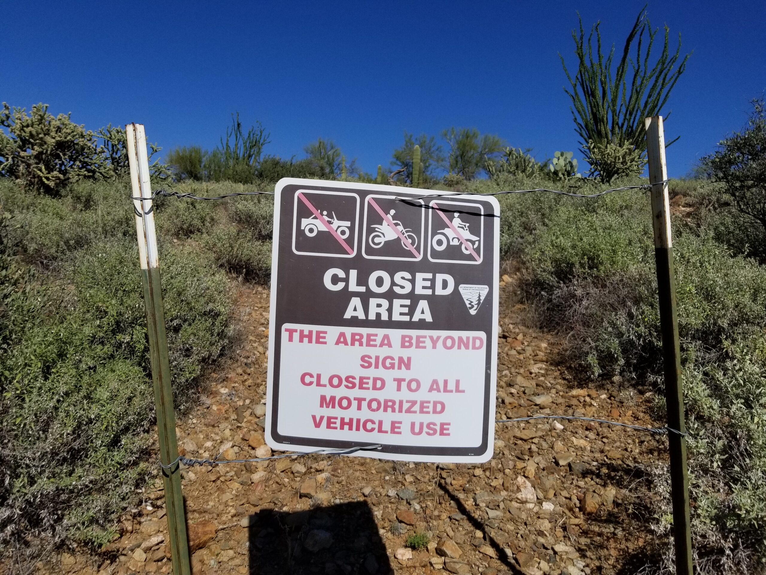
This map Visualizing Road closures on public land will shock you
We have compiled an interactive map illustrating road closures through travel management planning on Bureau of Land Management land and National Forest land in Arizona. Although this map is incomplete and does not include travel management plans completed between 1997 and 2014 on Bureau of Land Management land, it showcases federal agencies’ extensive efforts to…
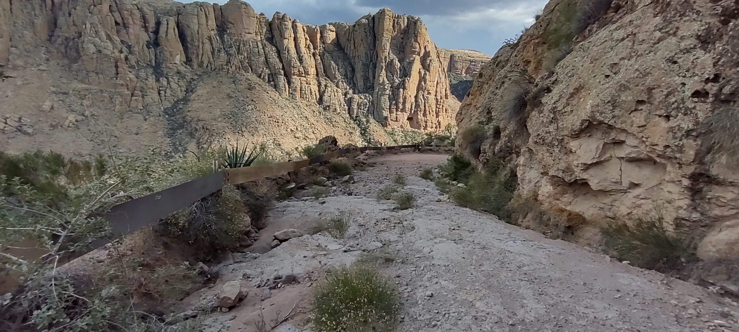
Preserving the Magic: Protecting the Apache Trail for Future Generations
Attention, nature enthusiasts and road warriors! Is the awe-inspiring beauty of the Apache Trail calling your name? We have a chance to contribute to its rejuvenation and make it even better. Let’s rally together and submit comments to the Arizona Department of Transportation (ADOT) urging them to clear the rock falls and repair the trail,…
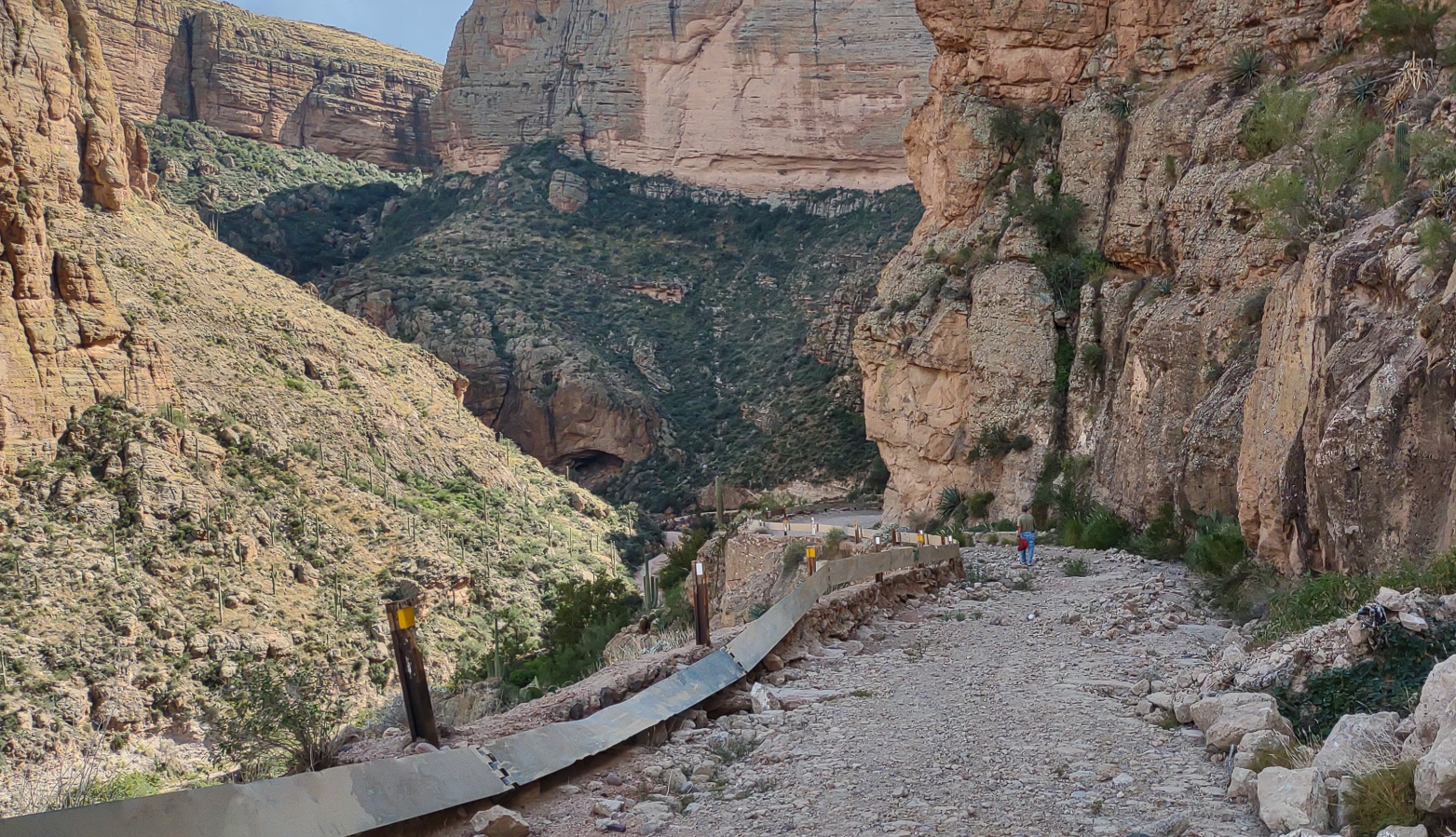
ADOT starts studies to repair Fish Creek Hill on the world famous Apache Trail
The Arizona Department of Transportation has initiated a comprehensive study to evaluate the viability of reopening the currently inaccessible seven mile segment of the Apache Trail situated at Fish Creek Hill, as mandated by an Arizona appropriation bill. With the objective of ascertaining the feasibility of this endeavor, the department is diligently examining various factors…
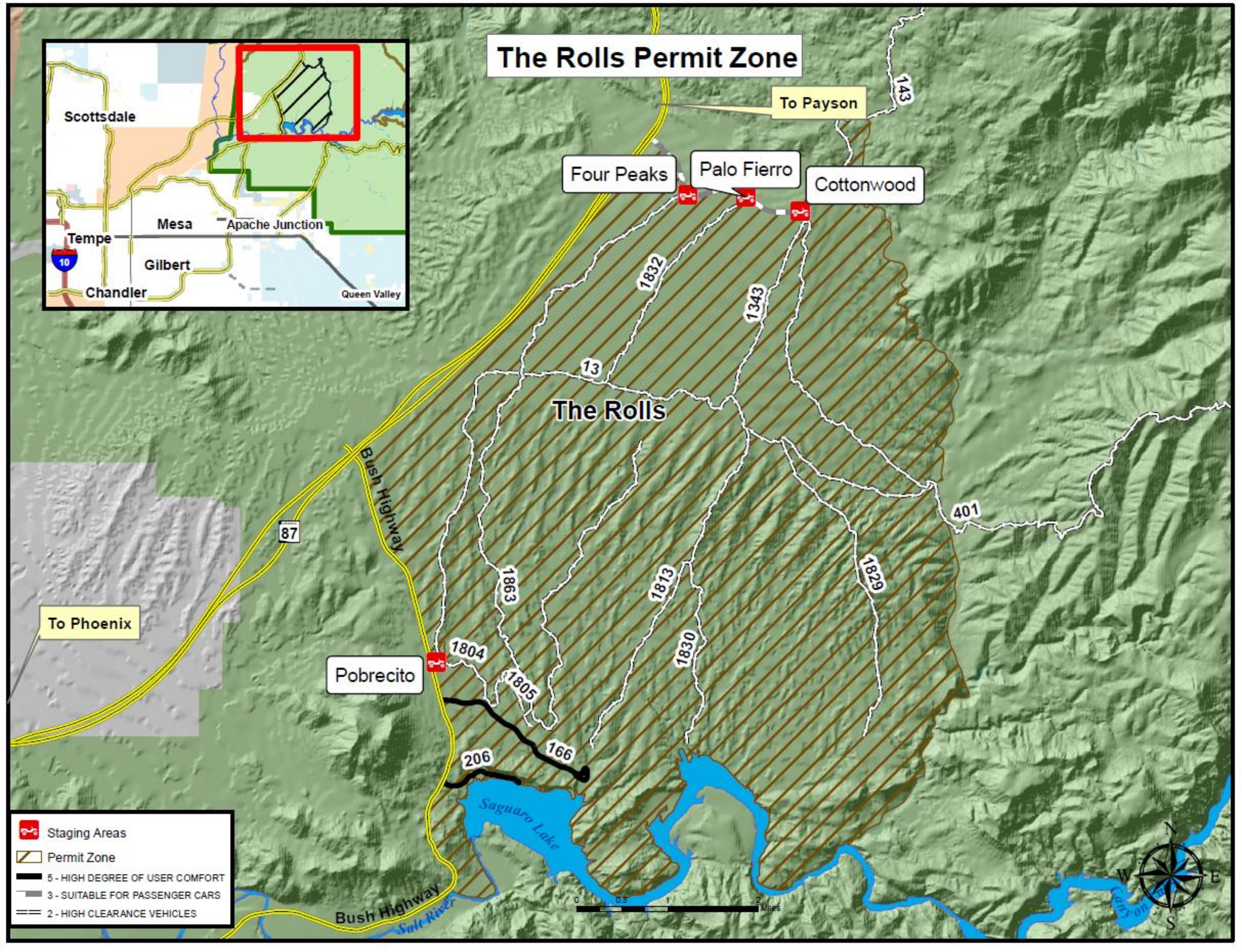
ACTION ALERT | permit zones Tonto NF | $10 fee Bulldog Rolls Sycamore St Clair Desert Vista
The US Forest Service Tonto National Forest is proposing off Hwy vehicle permit zones that will limit access to over 300 miles of roads on a total of 116,988 acres of public land
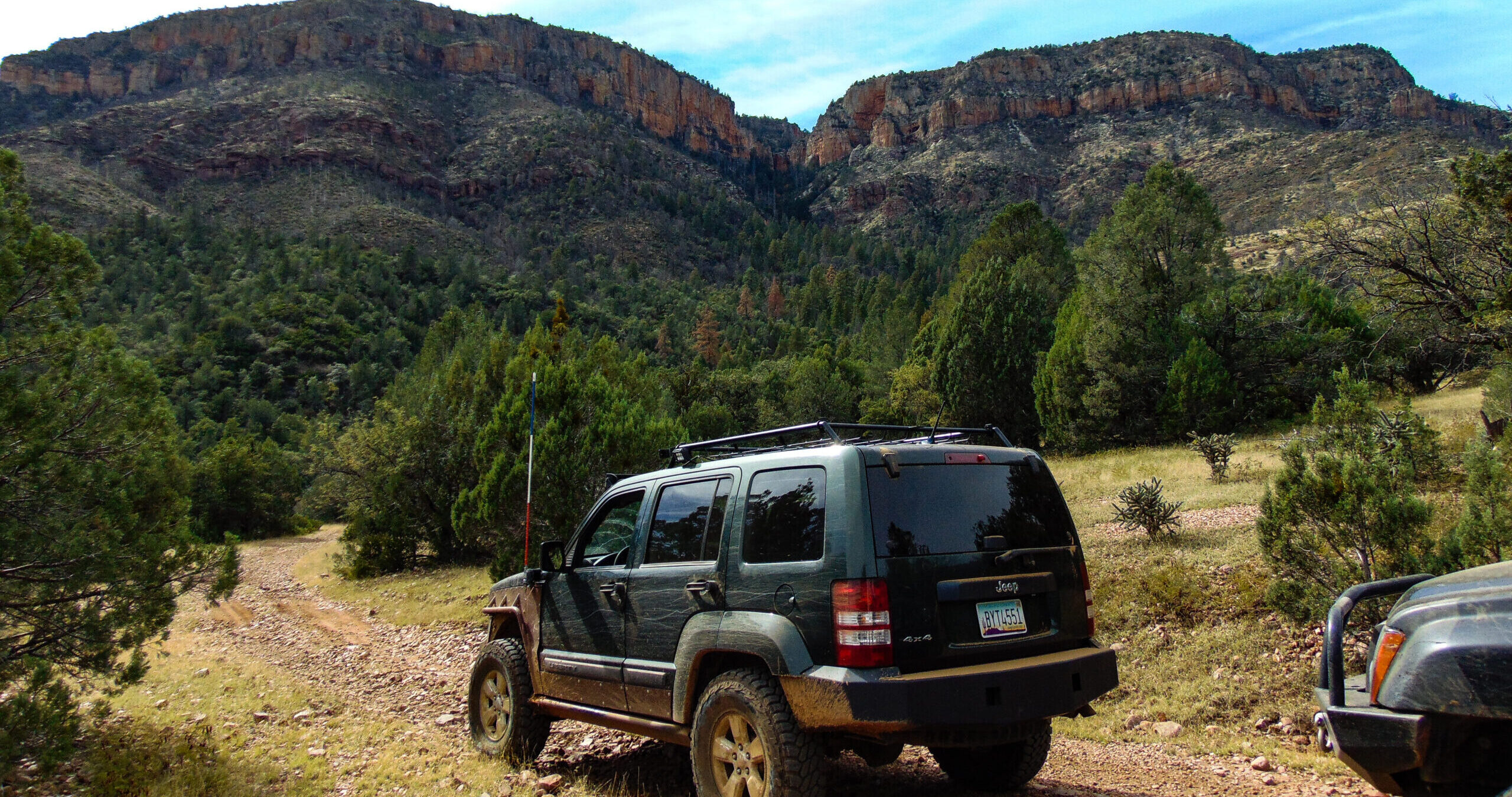
Arizona Pioneer Expedition
Embark on the thrilling Arizona Pioneer Expedition, a self-guided 850+ mile off-road adventure through Arizona’s rugged backroads. Perfect for intermediate to expert 4×4 enthusiasts, this 10-14 day journey offers technical obstacles, stunning landscapes, and unforgettable experiences. Explore remote destinations like Rawhide Wash Slot Canyon and Boulder Pass Trail. Download GPS tracks, points of interest, and…
1,853 miles of backroads closed | Tonto NF
The USDA Forest Service has released their Revised Final Environmental Impact Statement concerning the Travel Management in the Tonto National Forest.
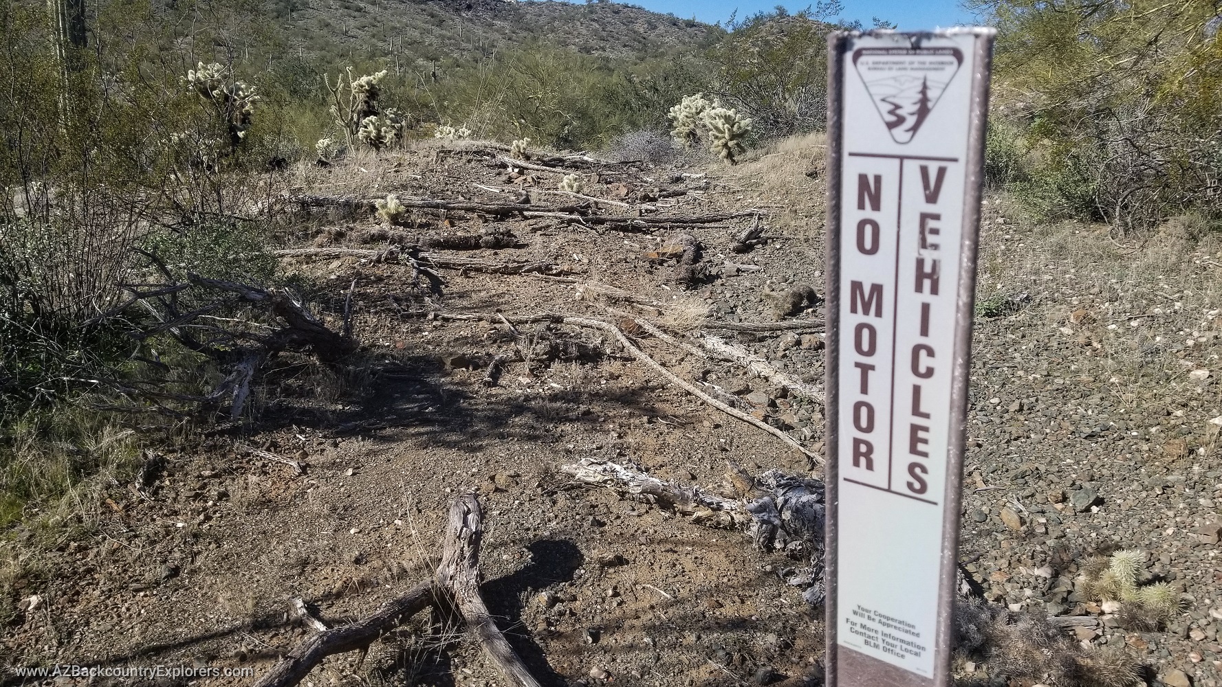
Bureau of Land Management | How Arizona stopped trail closures
Facing trail closures on BLM land, Arizona fought back, saving over 10,000 miles of trails and setting a precedent for motorized access in public lands. Learn how the battle led to the disapproval of BLM’s Resource Management 2.0, reopening thousands of trails across the U.S. and shaping the future of public land access.
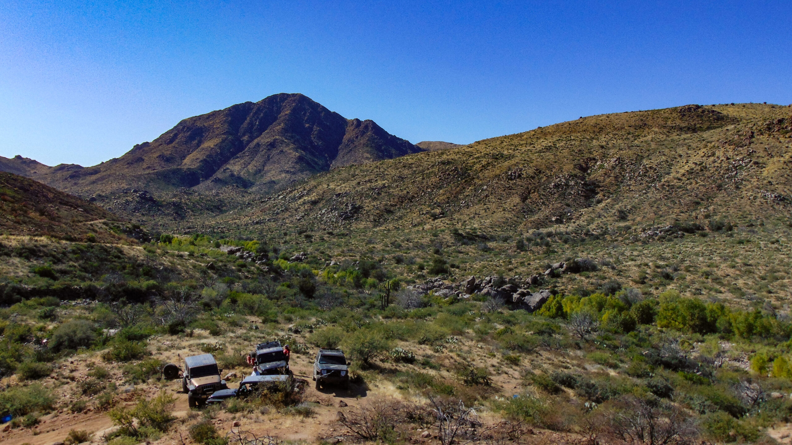
DRASTIC CHANGES in the Tonto NF | Forest Resource Management Plan | All you need to know
The Tonto National Forest has introduced a Draft Land and Resource Management Plan. The new plan will dictate how the Forest Service manages our public lands. This plan will directly affect how, where, and when you can access your public lands. Likewise, it will implement a whole slurry of regulations.
